

sec@brattonhistory.co.uk
Bratton’s buildings
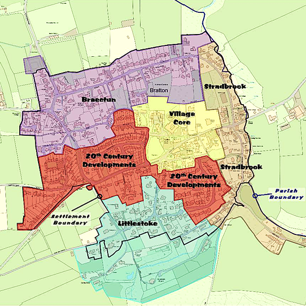
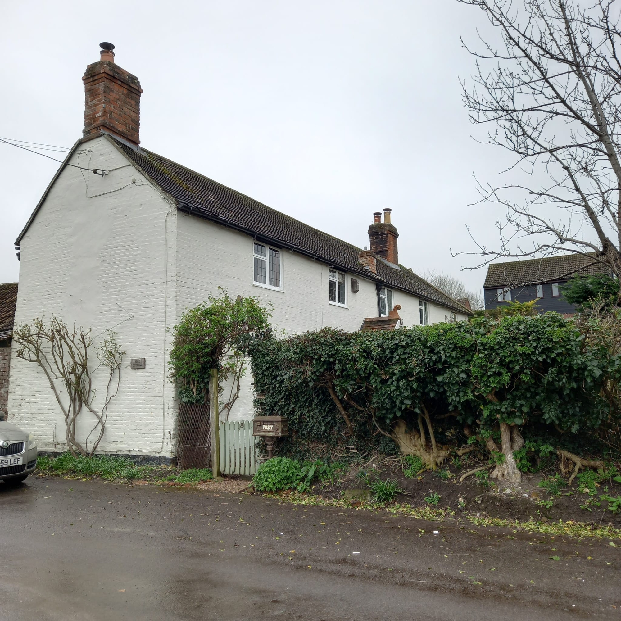
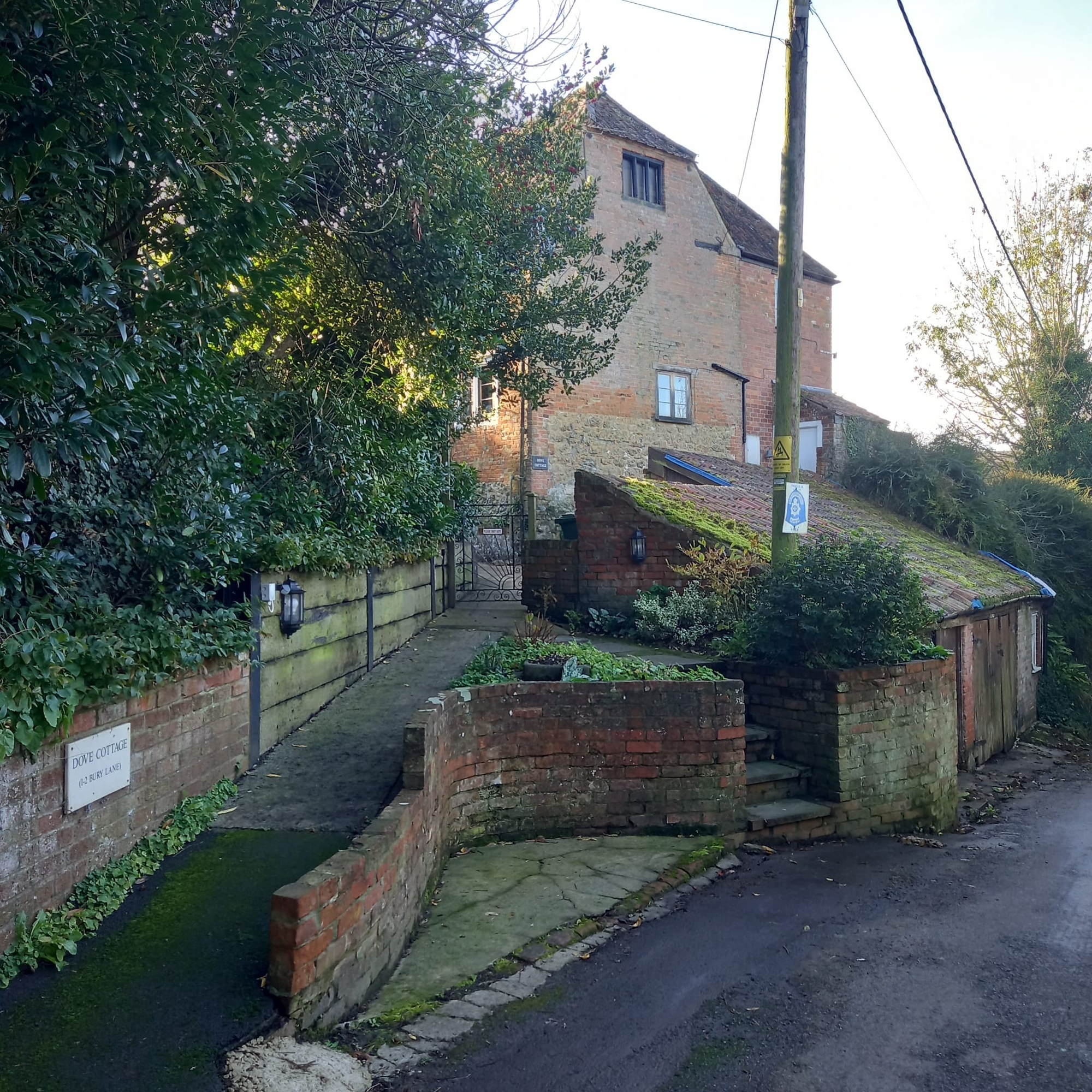
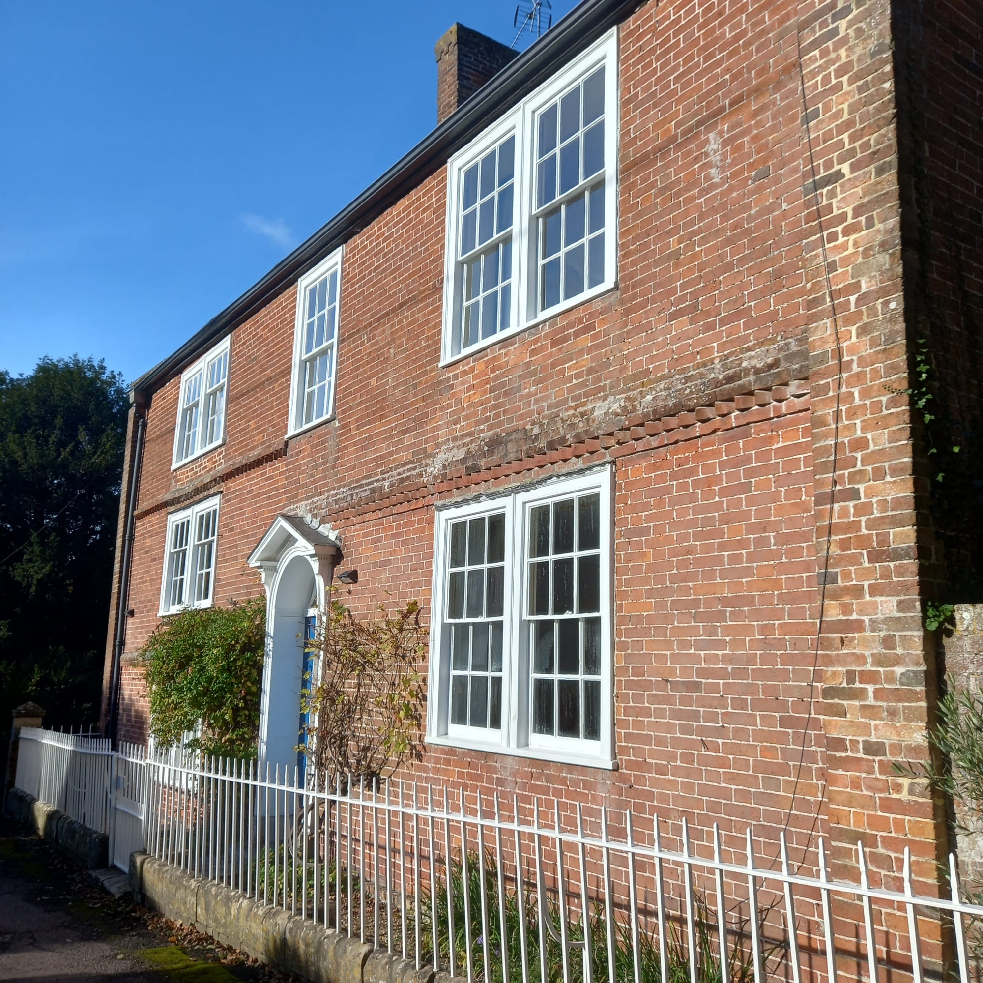
The village is made up of five zones, as shown on the map. Just click on the zone name below the map then select the building you are interested in for information, photographs and listings.
Littlestoke
20th Century Developments
Village Core
Stradbrook
Braectun
Littlestoke
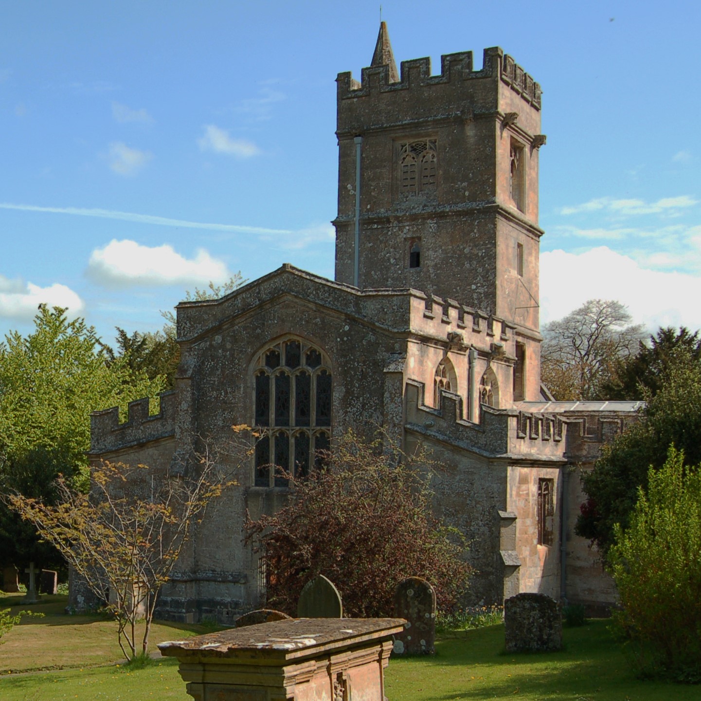
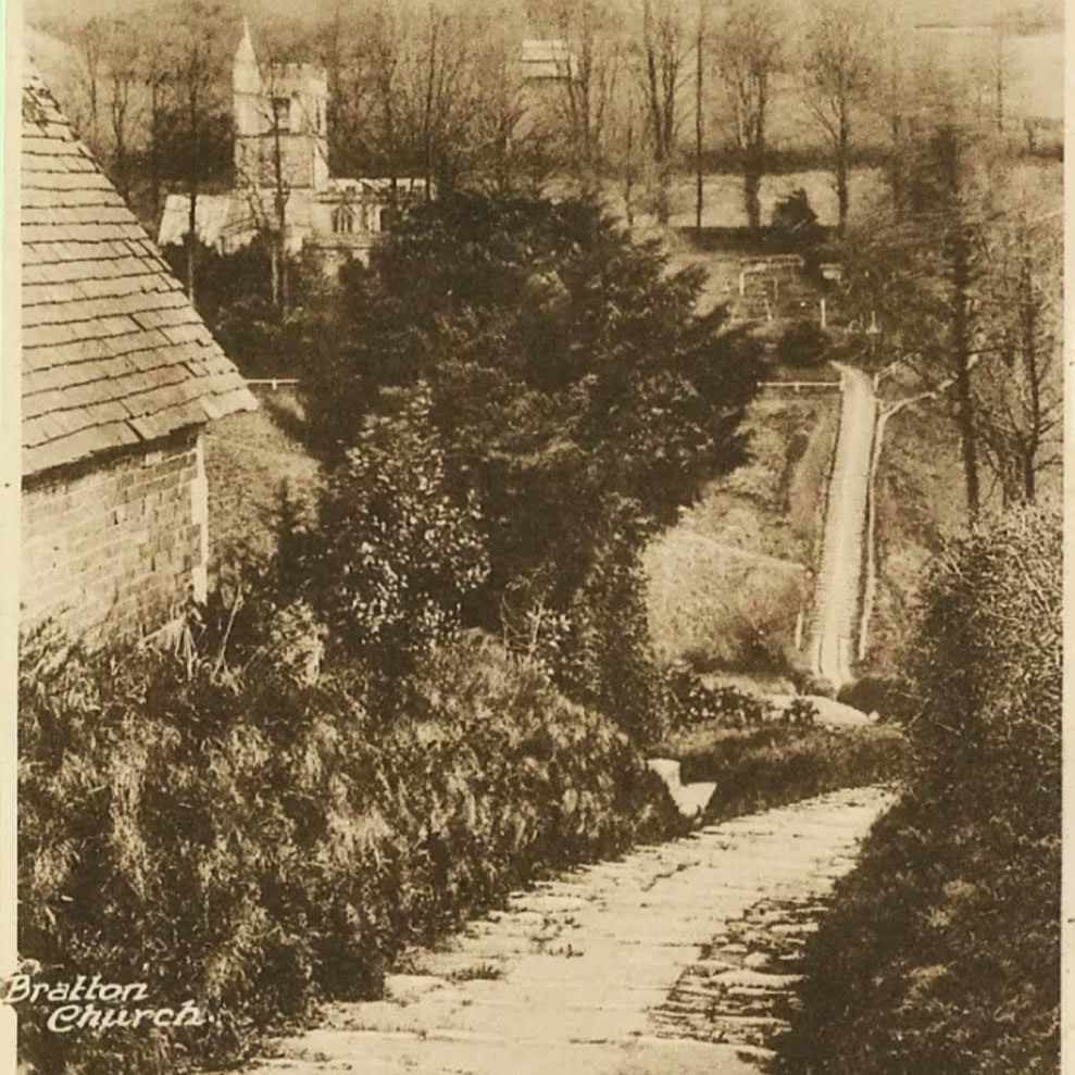
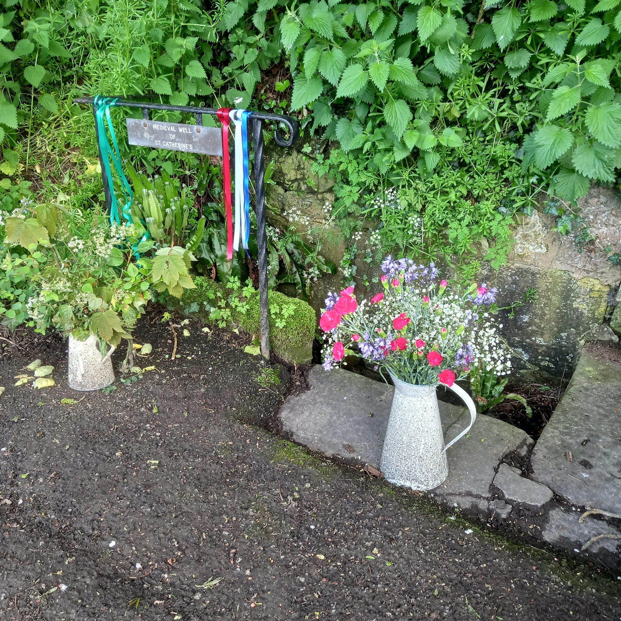
The ancient Parish Church of St James The Great stands next to Church Springs, where ground water has, for thousands of years, emerged from an aquifer under Salisbury Plain. The small medieval hamlet of Stoc (a secondary or dependent settlement) grew up around the church and springs. Littlestoke, as it became known remained here until it was abandoned 500 years or so ago.
Although the Church still stands rather separate from the rest of the village, in the 19th Century the Church Steps were built to create a shortcut across the steep-sided Church Coombe.
Although the Church still stands rather separate from the rest of the village, in the 19th Century the Church Steps were built to create a shortcut across the steep-sided Church Coombe.
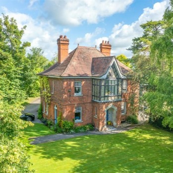
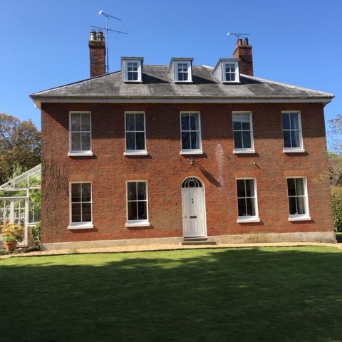
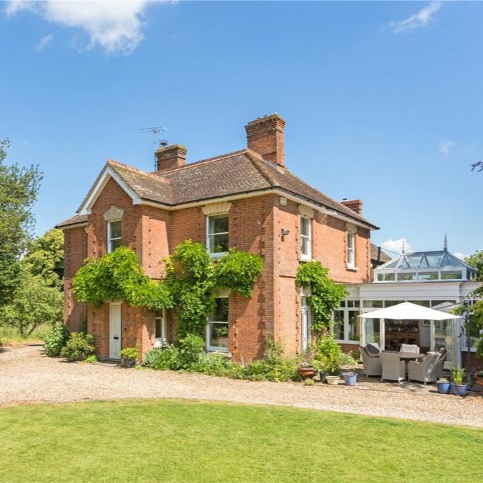
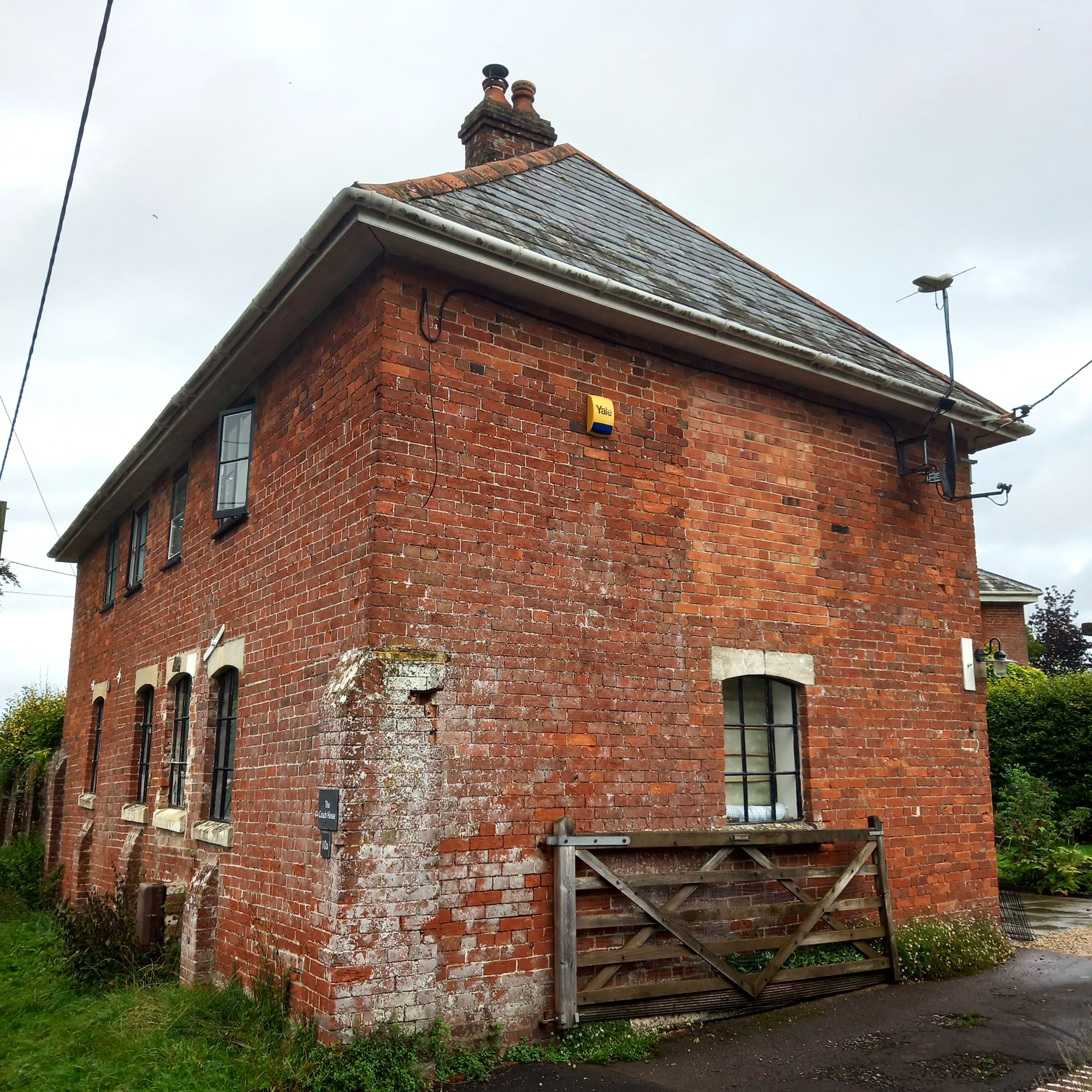
20th Century Developments
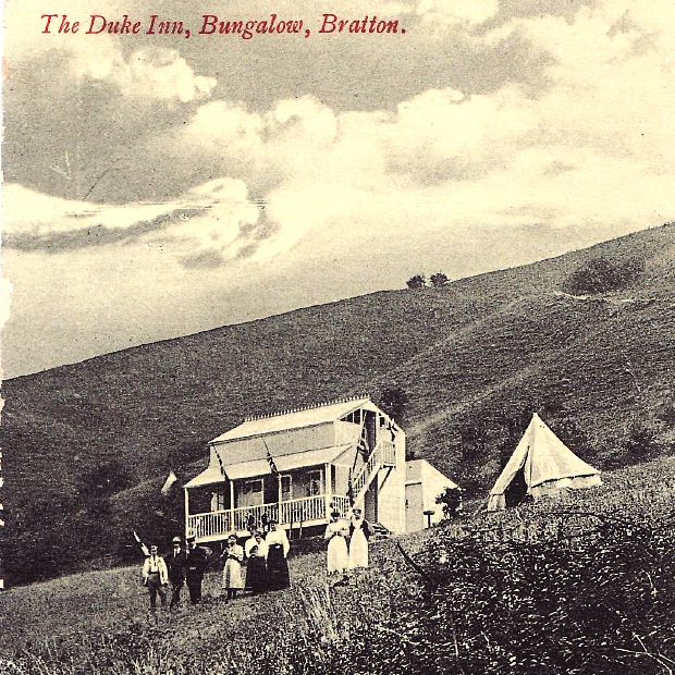
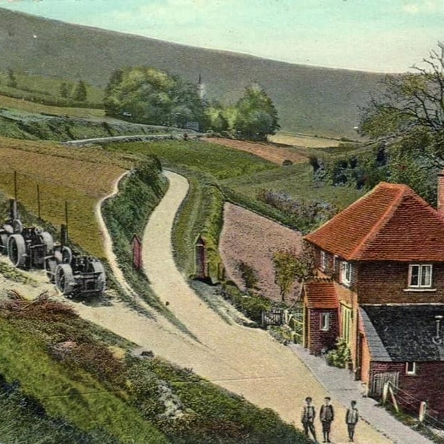
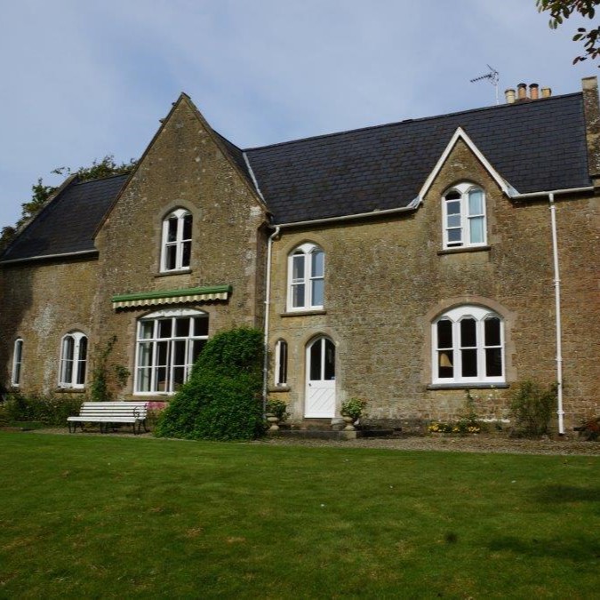
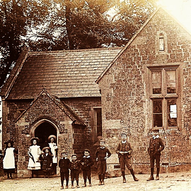
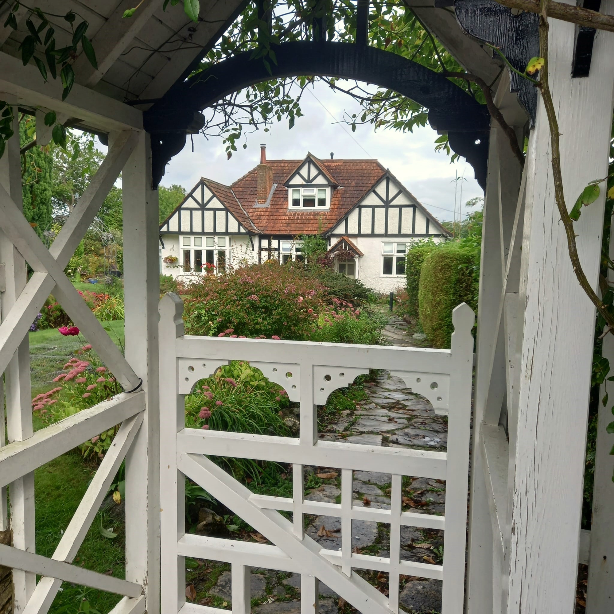
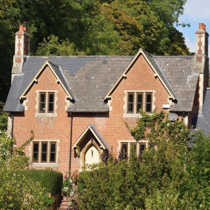
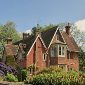
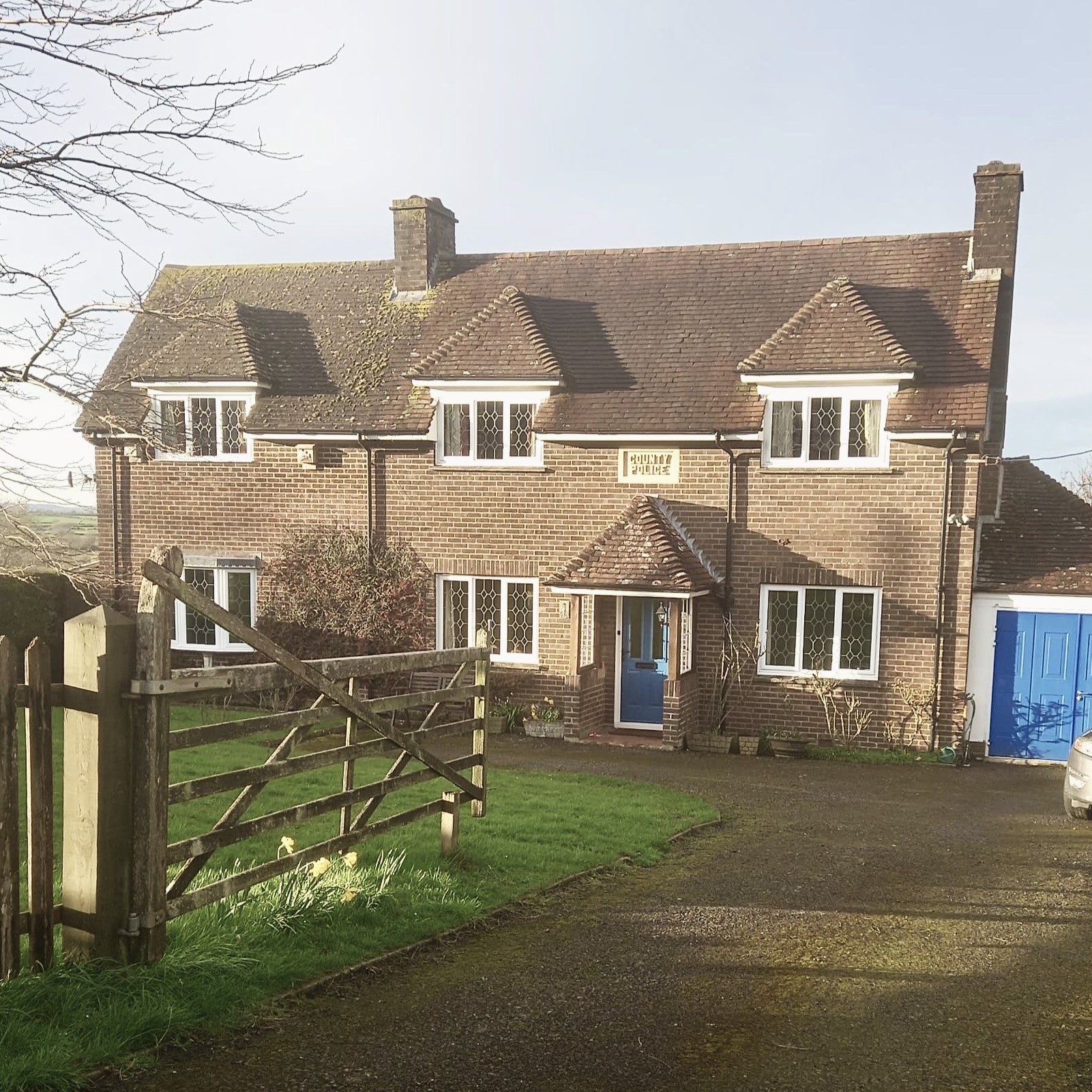
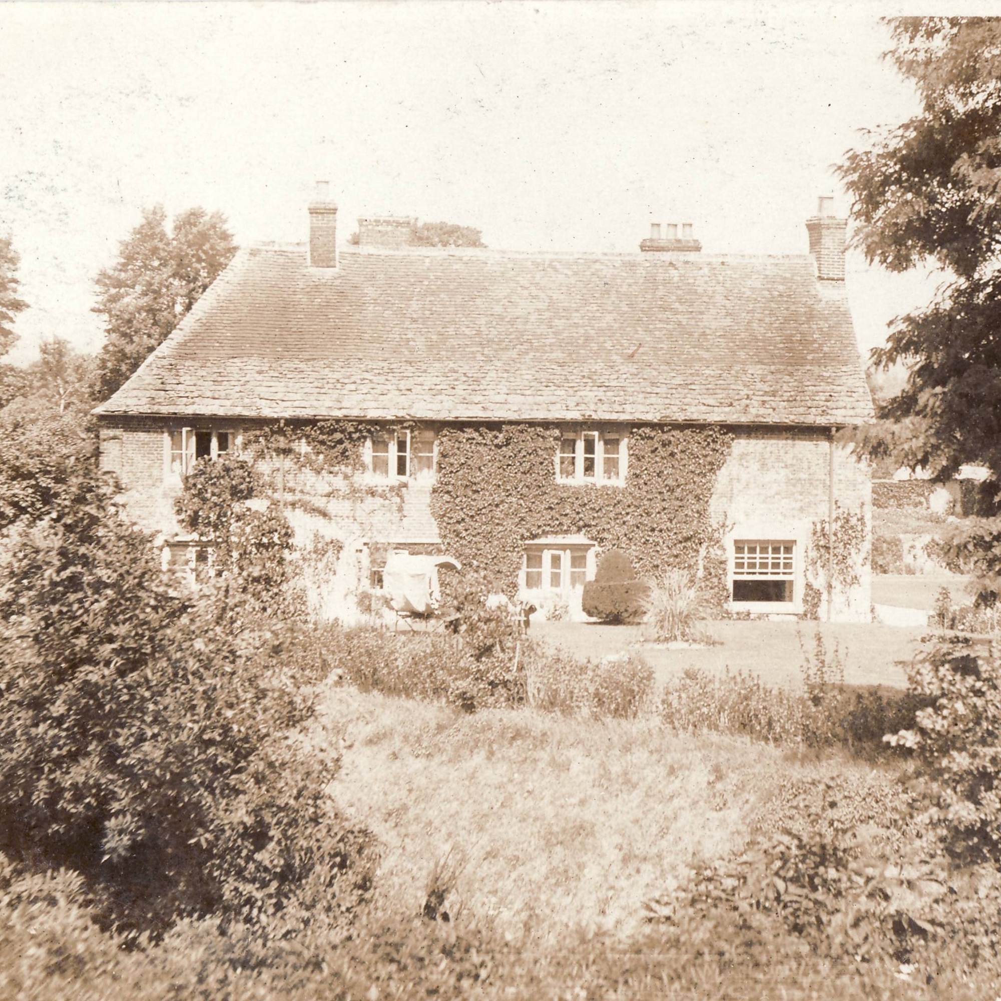
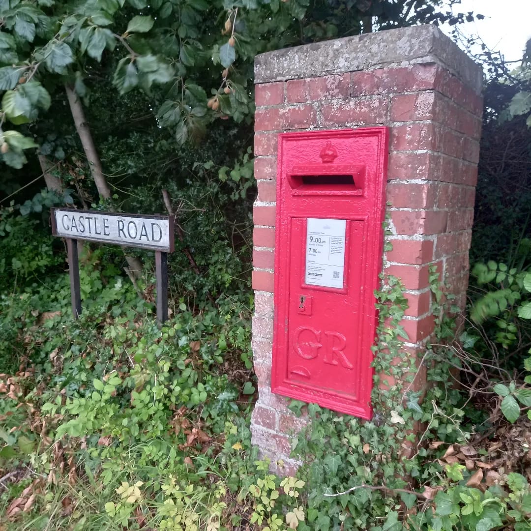
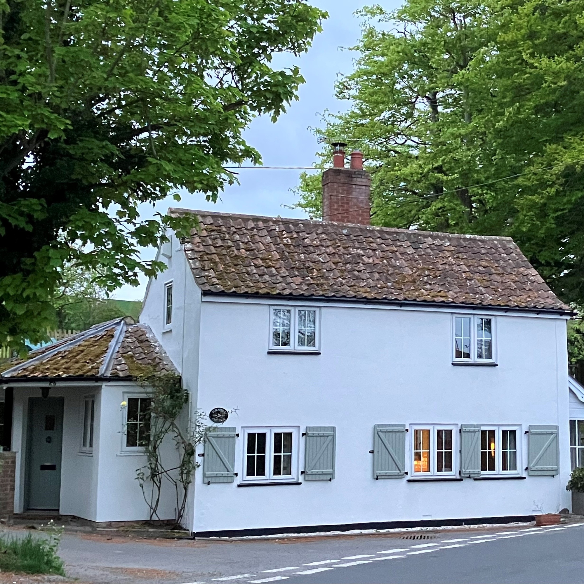
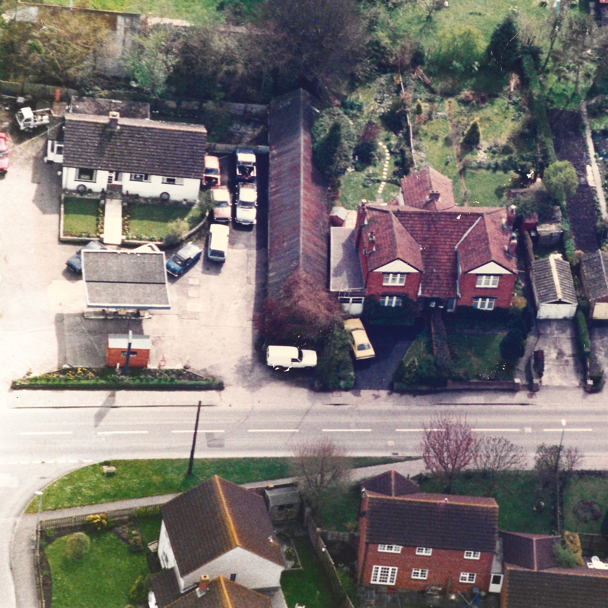
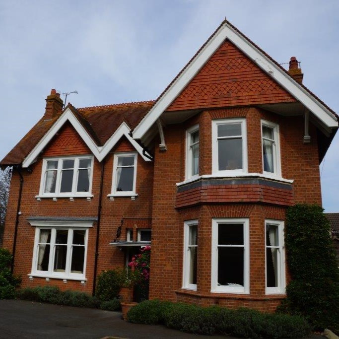
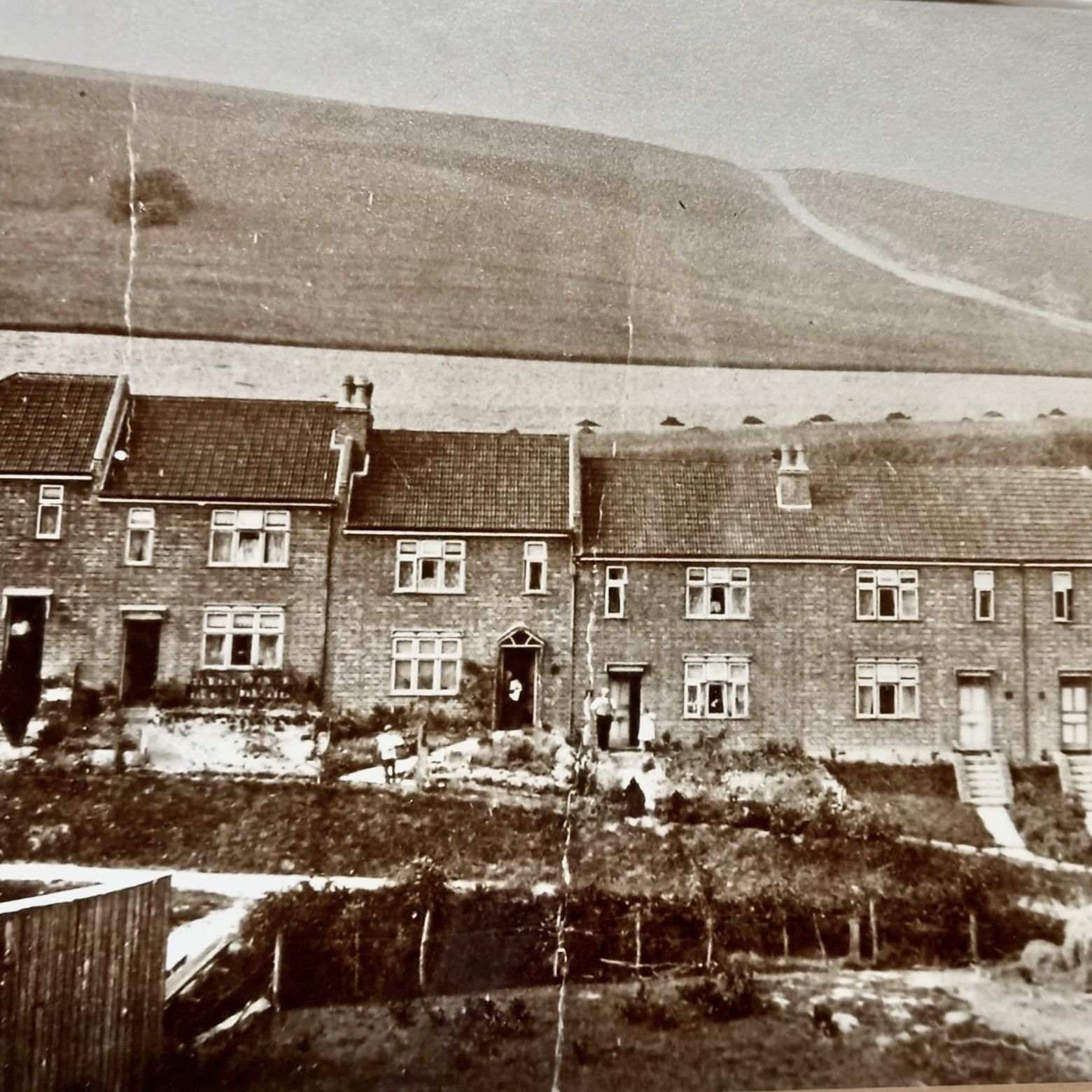
After the first World War an increasing number of houses were built along the main road through the village and up Castle Road. After the Second World War the demand for housing grew further and a number of self-contained sub-urban housing estates were built on the orchards and other land that had previously separated the three original hamlets of Little Stoke, Braectun and Stradbrook.
Village Core
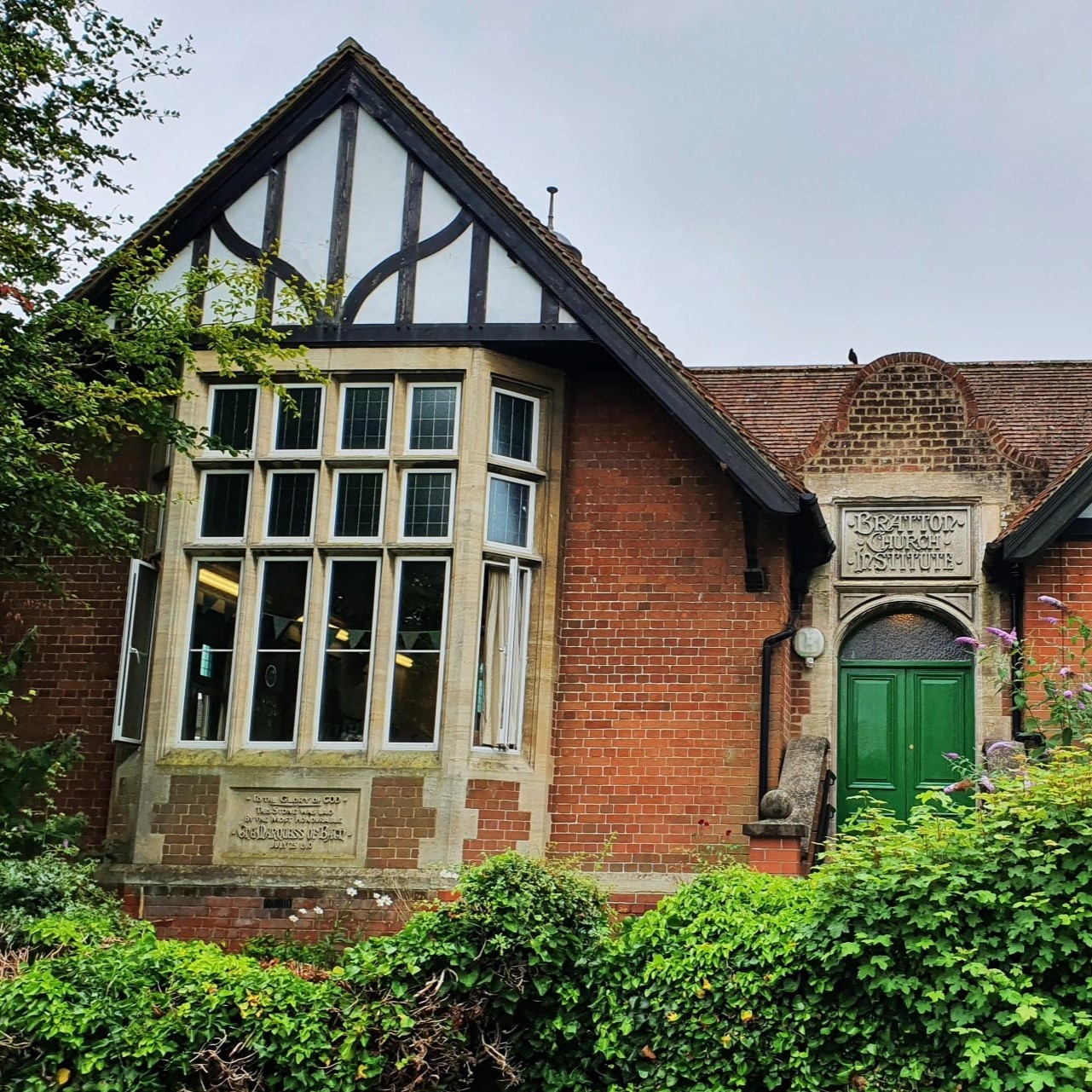
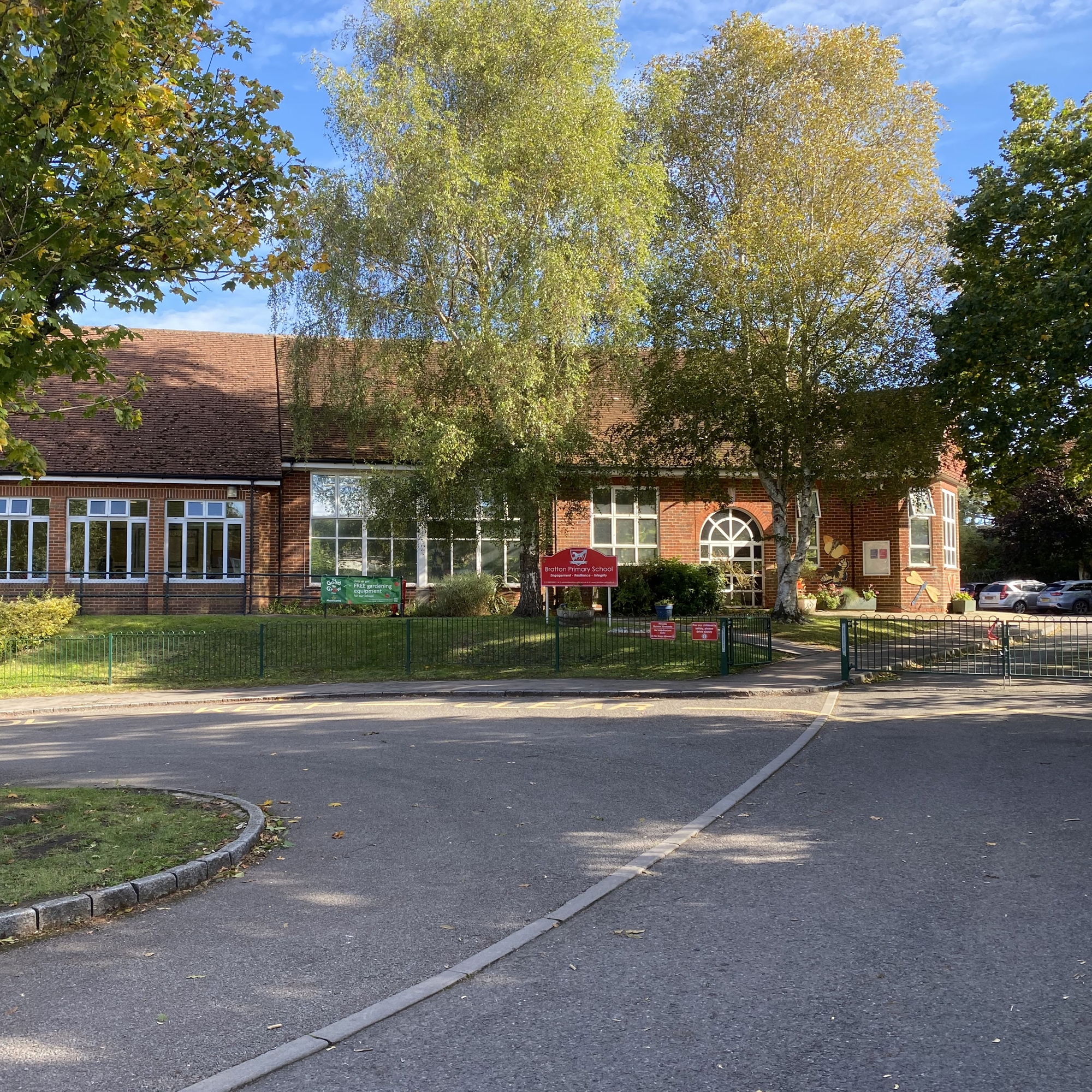
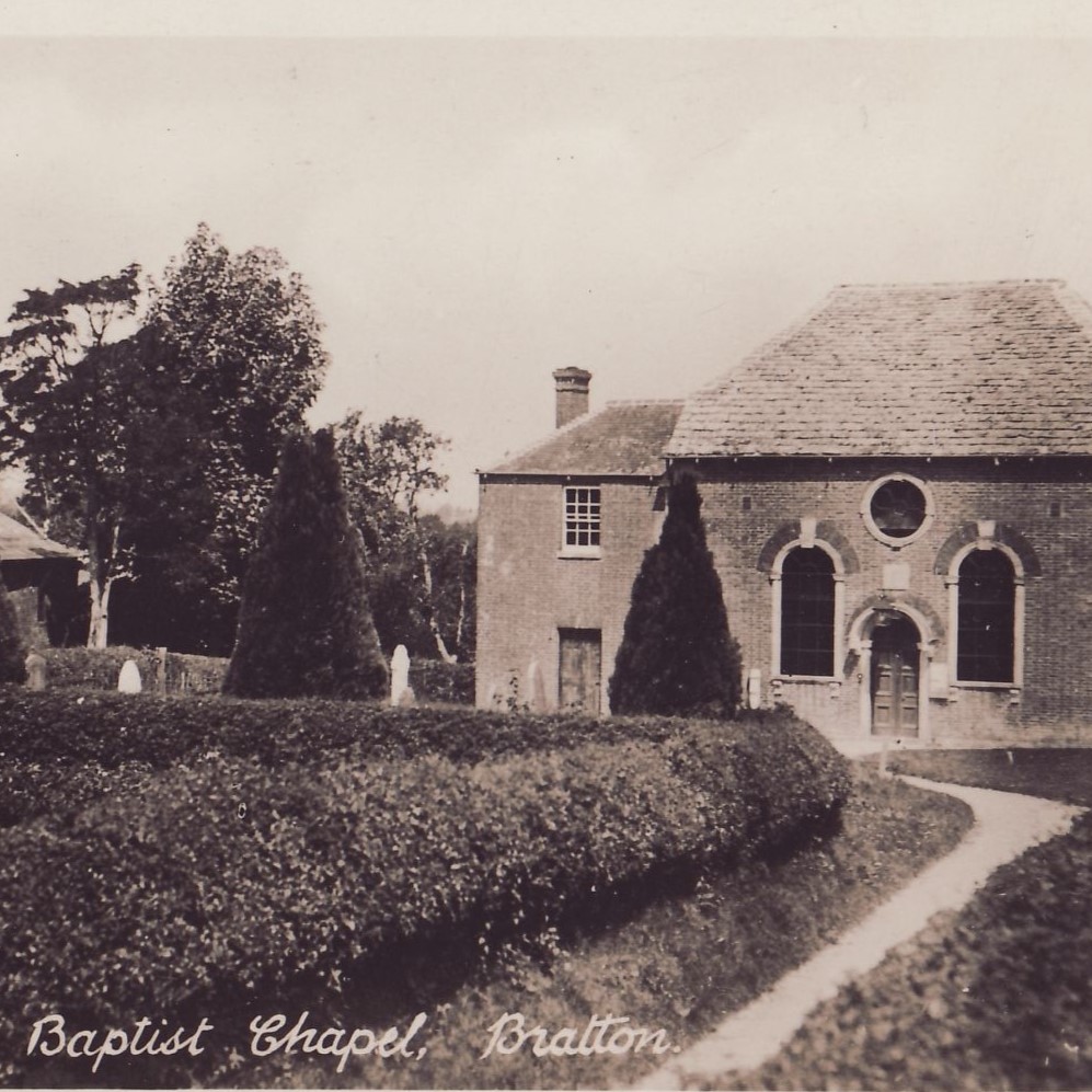
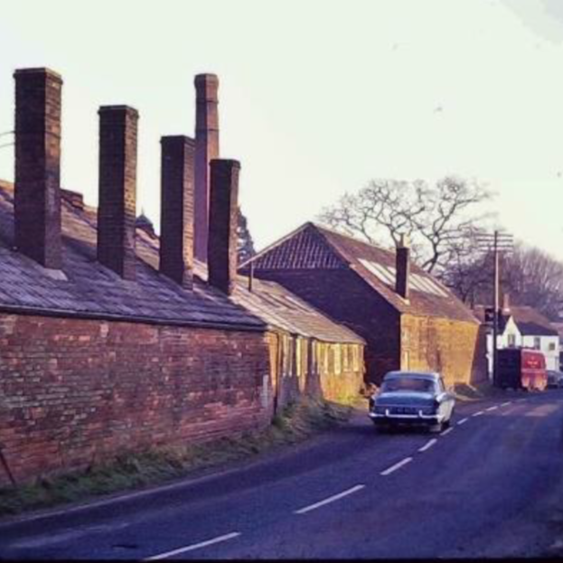
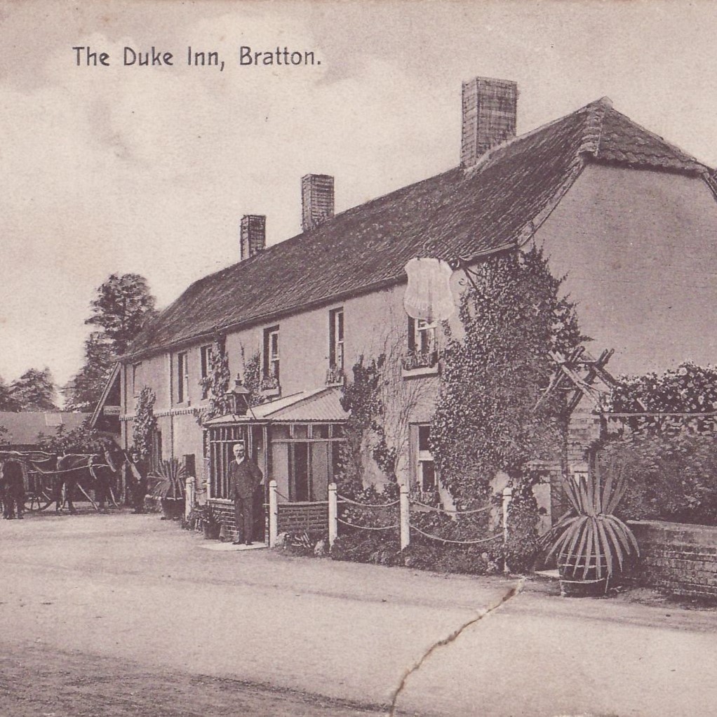
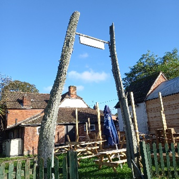
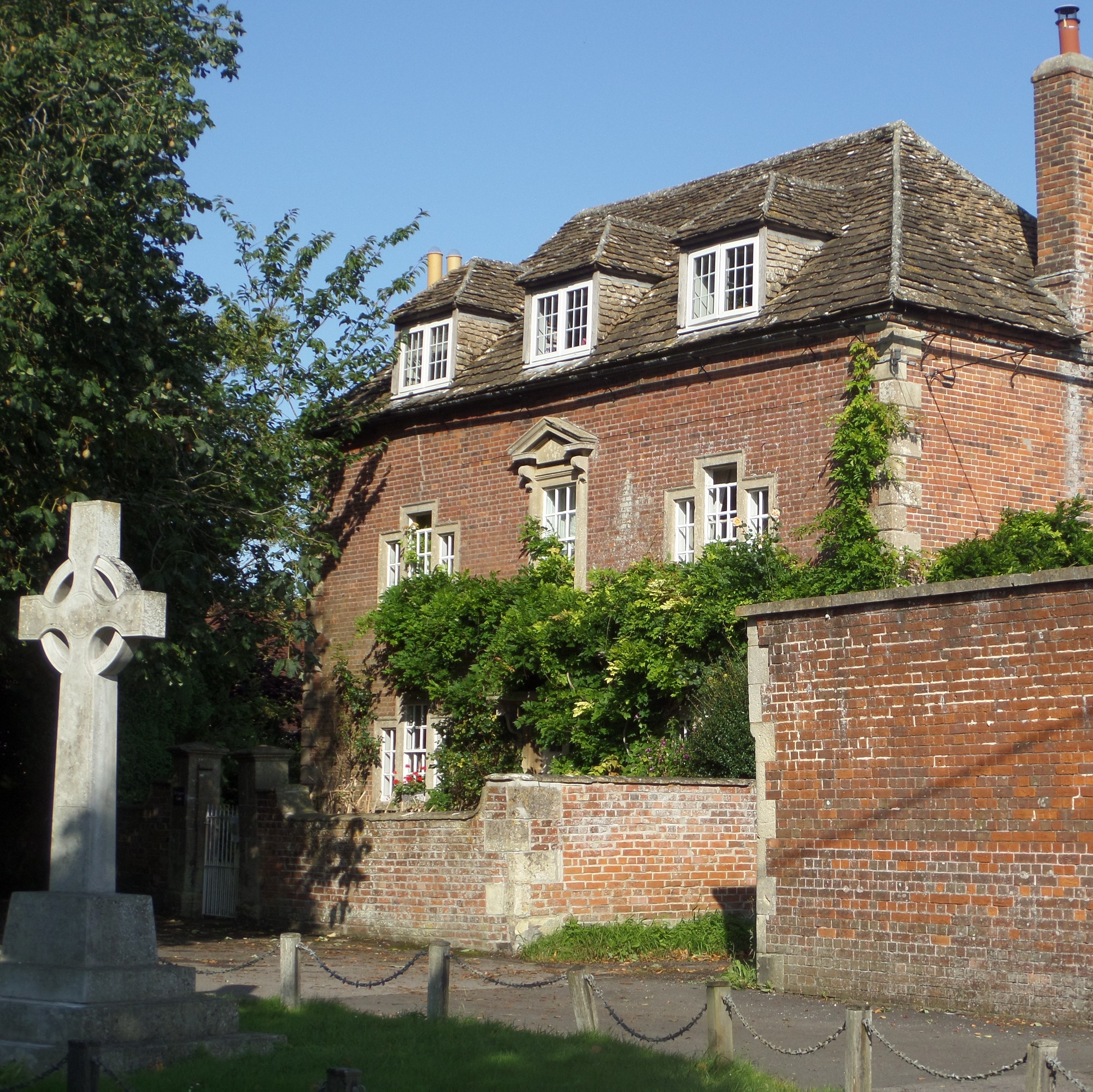
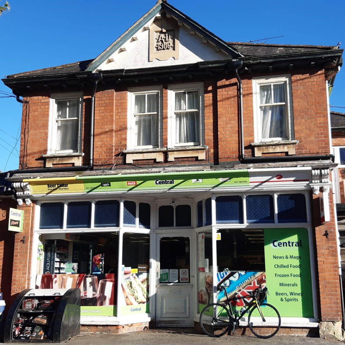
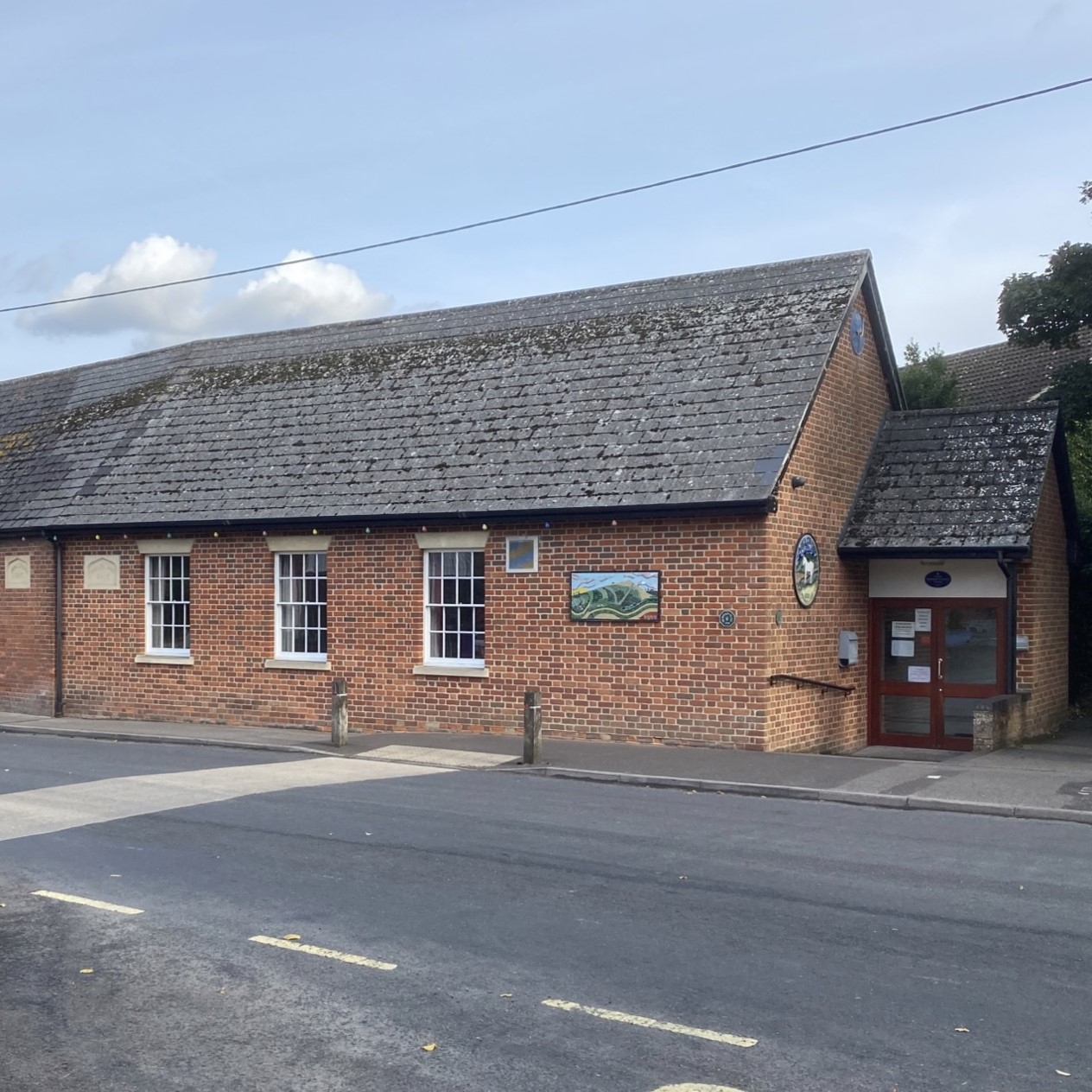
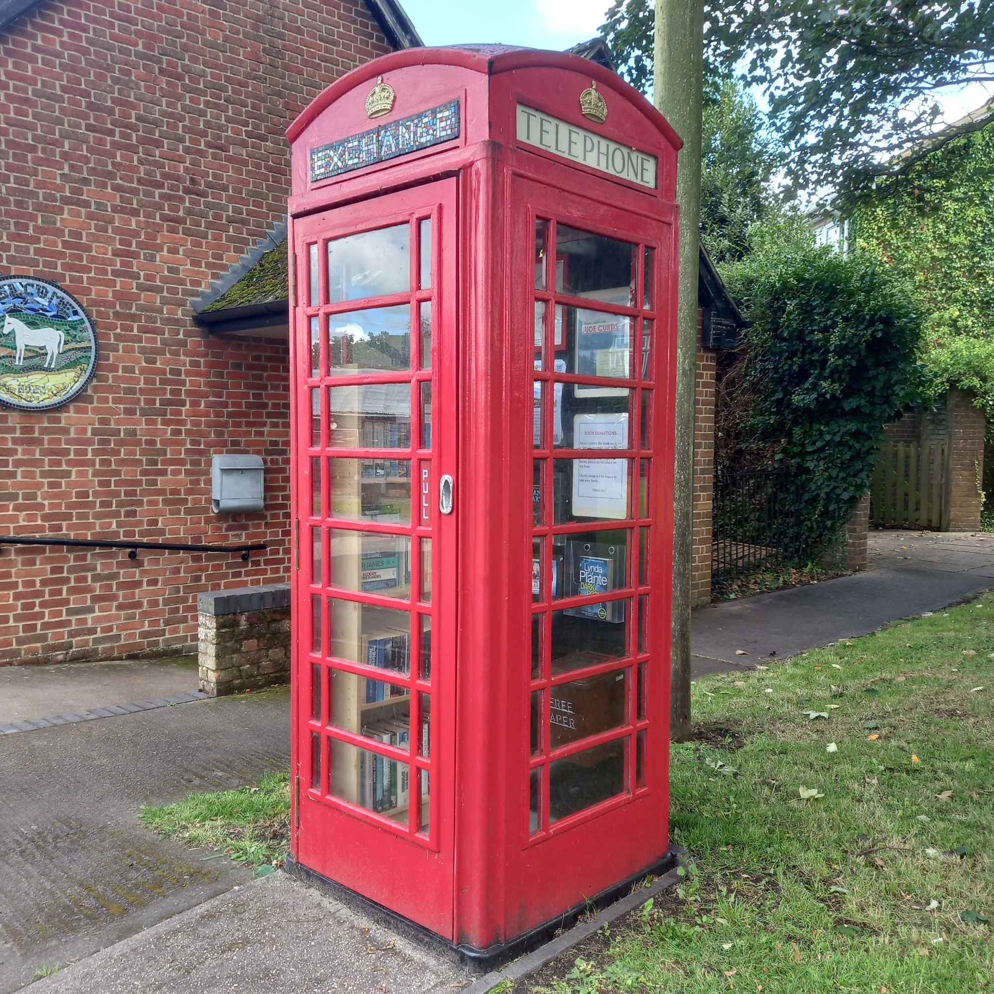
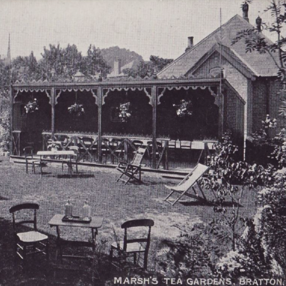
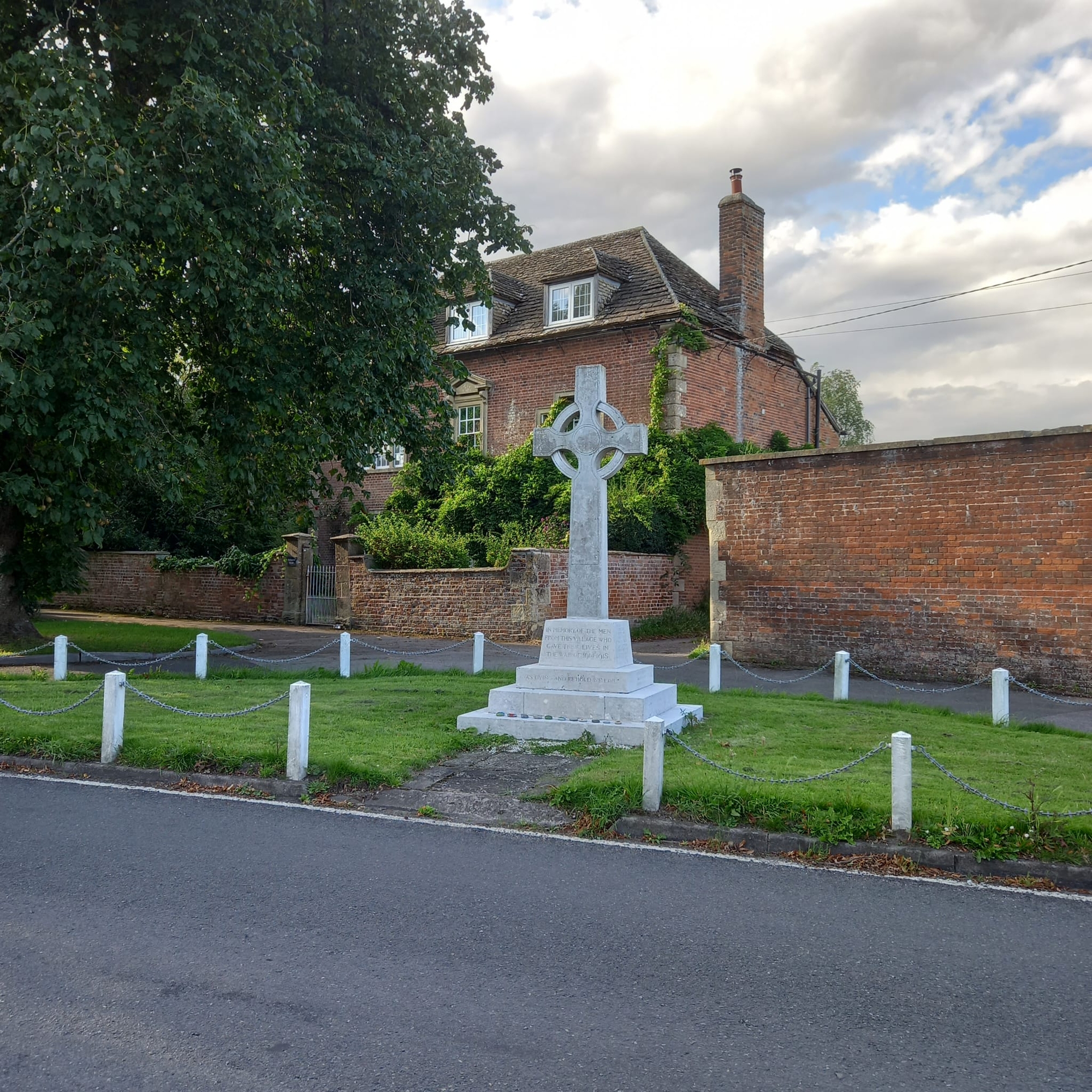
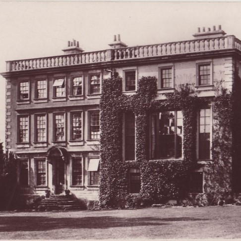
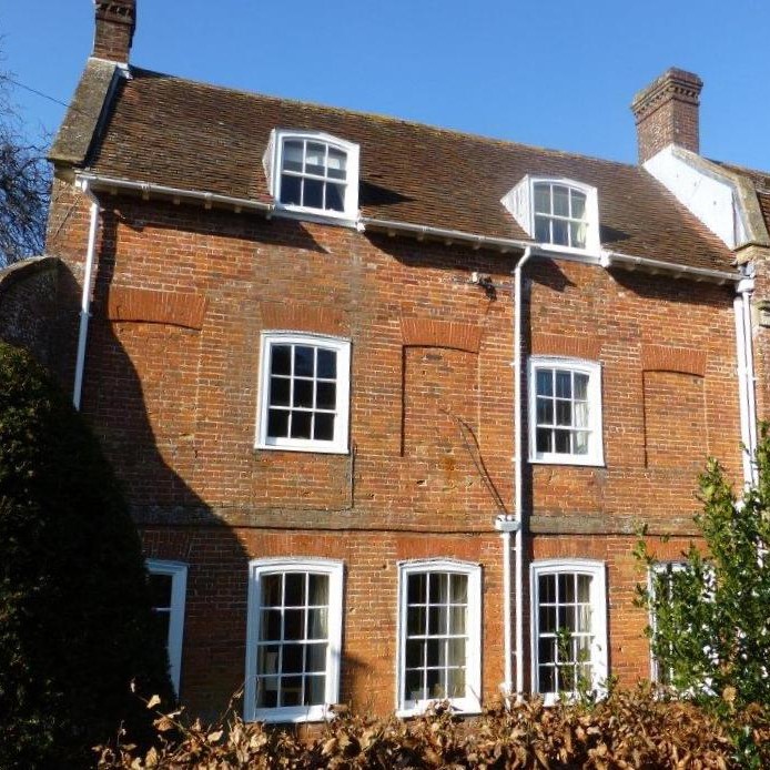
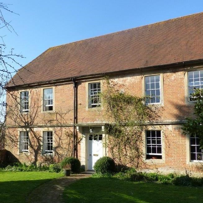
At the heart of the village lie Bratton’s main facilities – the pub, shop, surgery, school and the village green where once stood Reeves Ironworks, the village’s main employer before its closure in 1972. This is also the location of three fine Listed buildings: Bratton House, Melbourne House and the Baptist Chapel, along with The Jubilee Hall and Church Institute which have played host to a large number of village events over the years.

Stradbrook
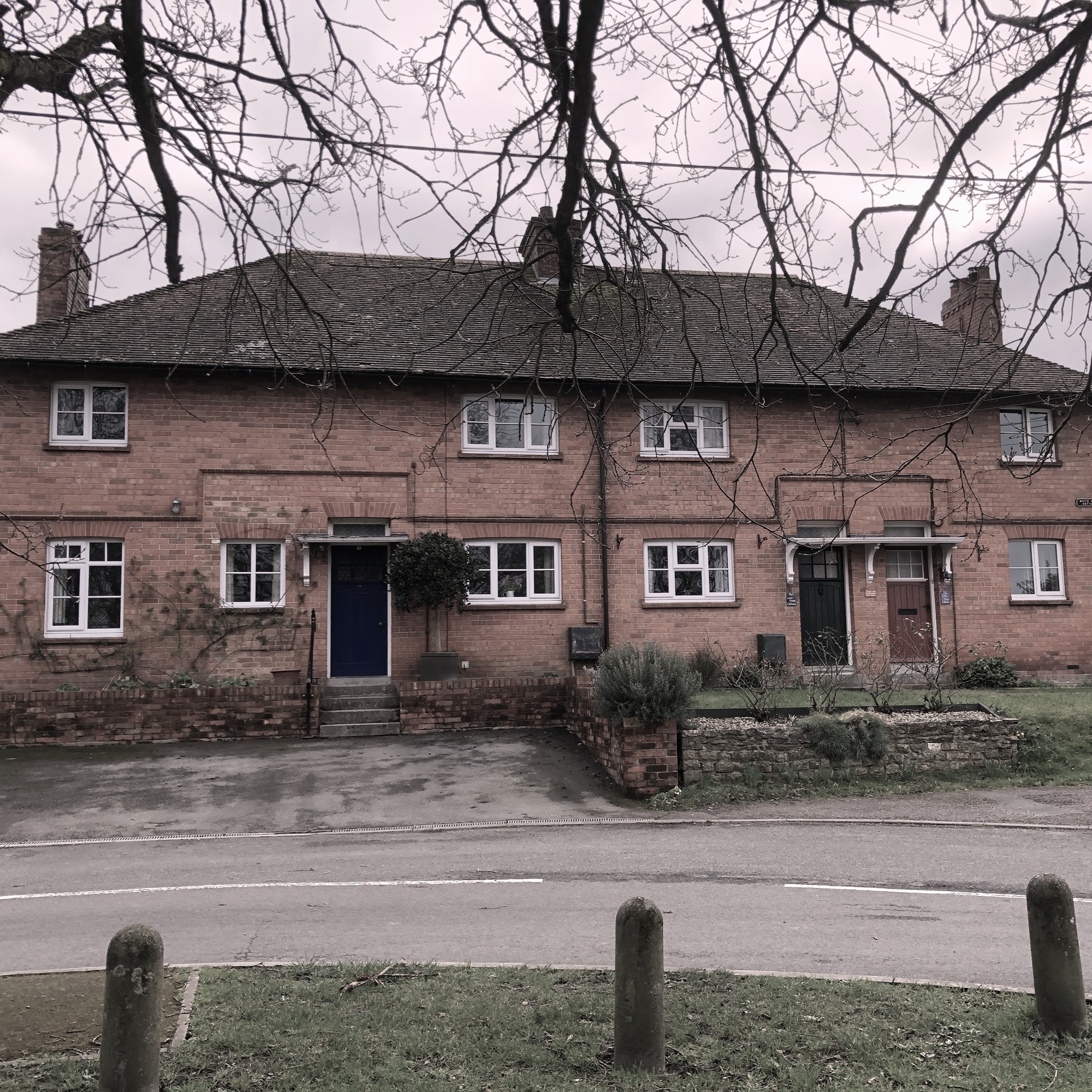
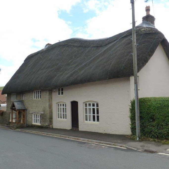
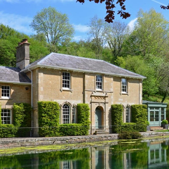
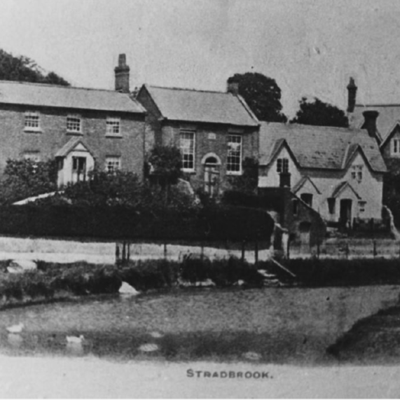
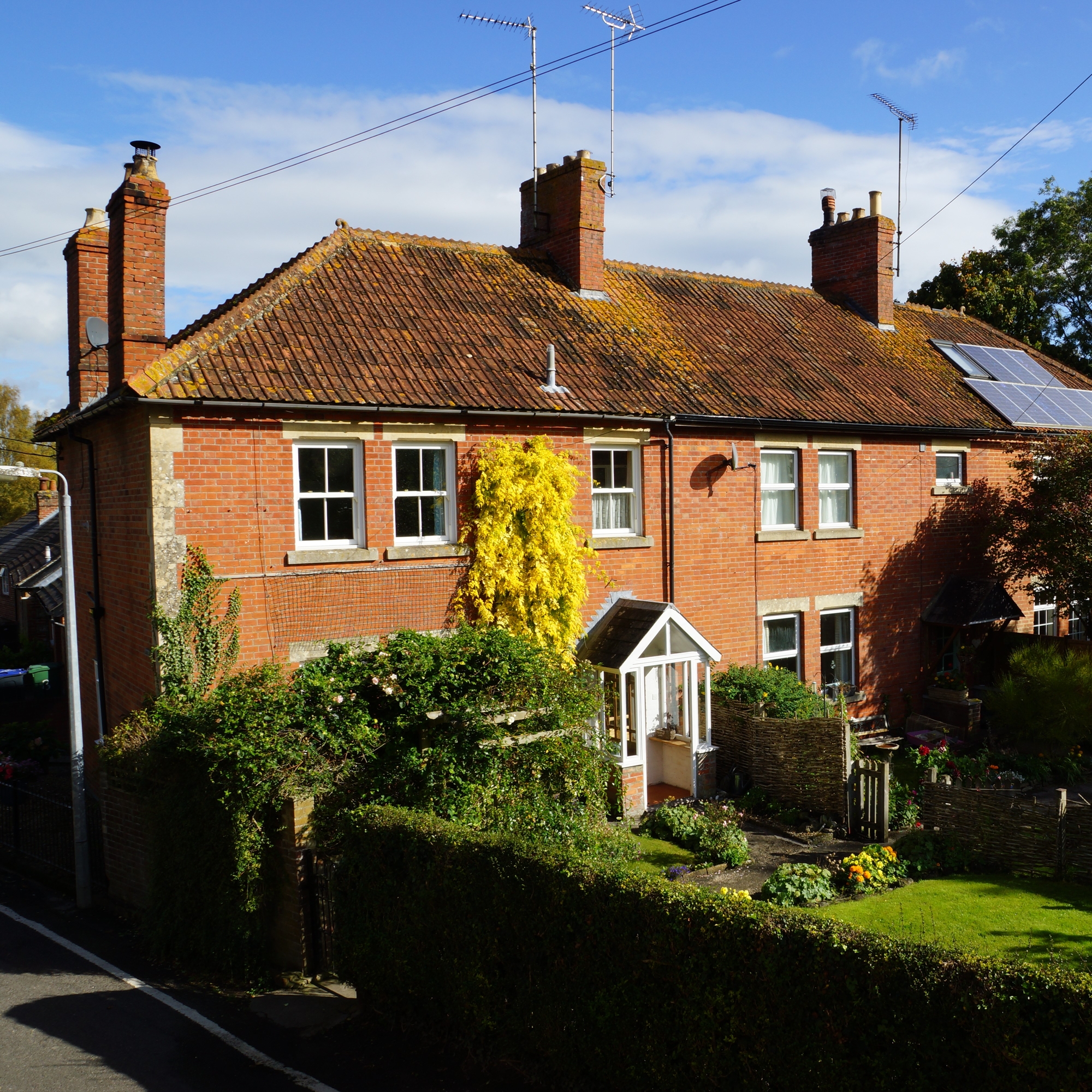
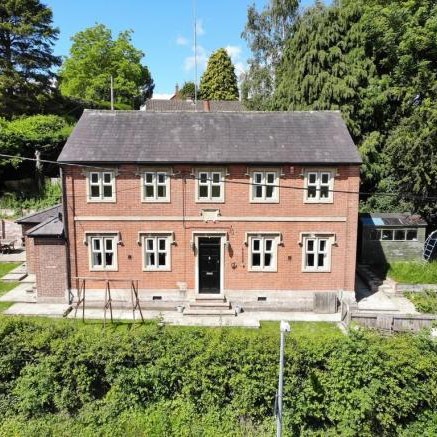
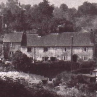
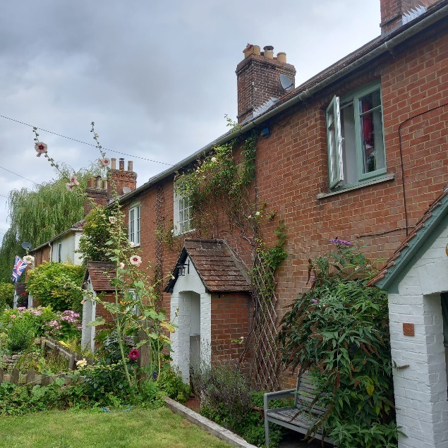
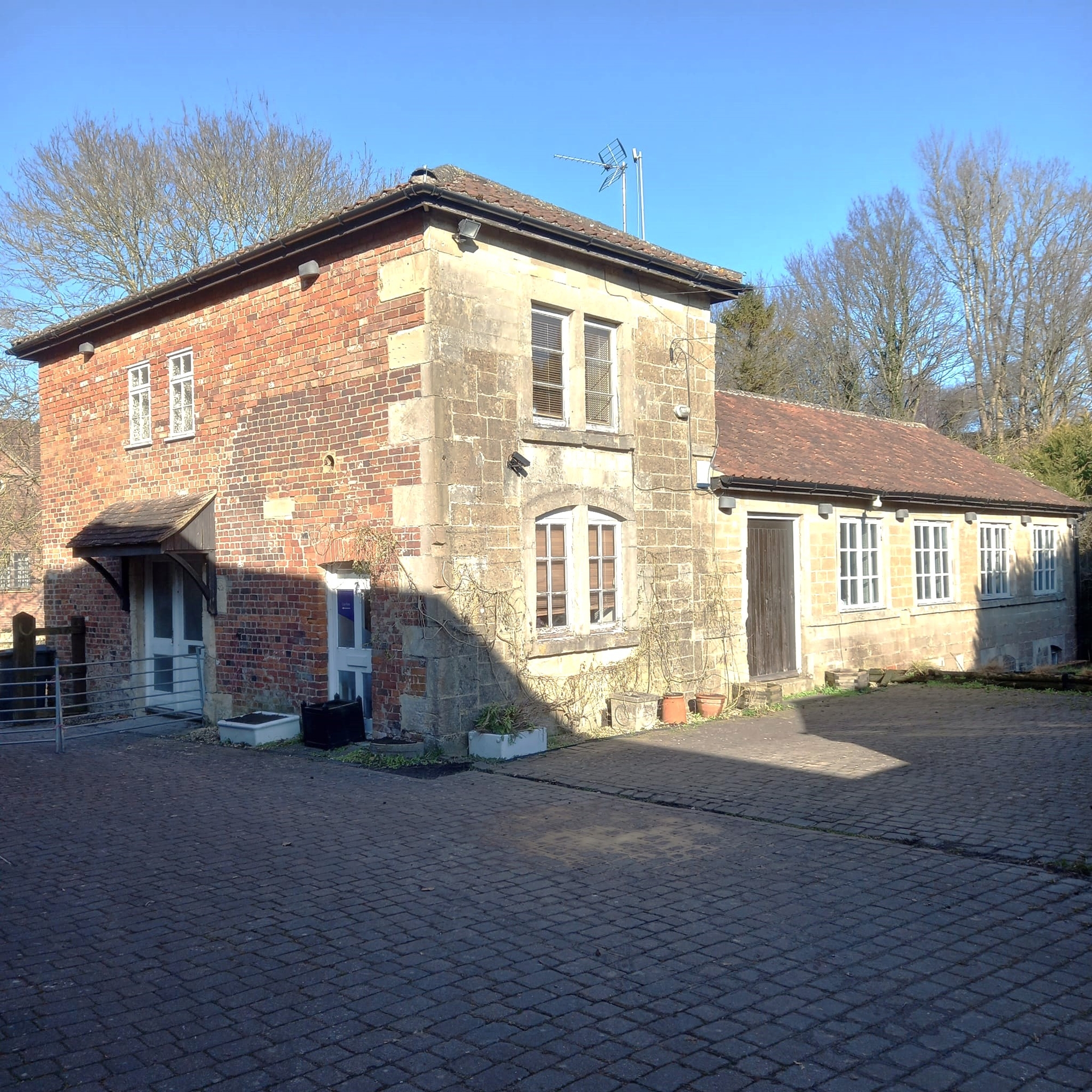
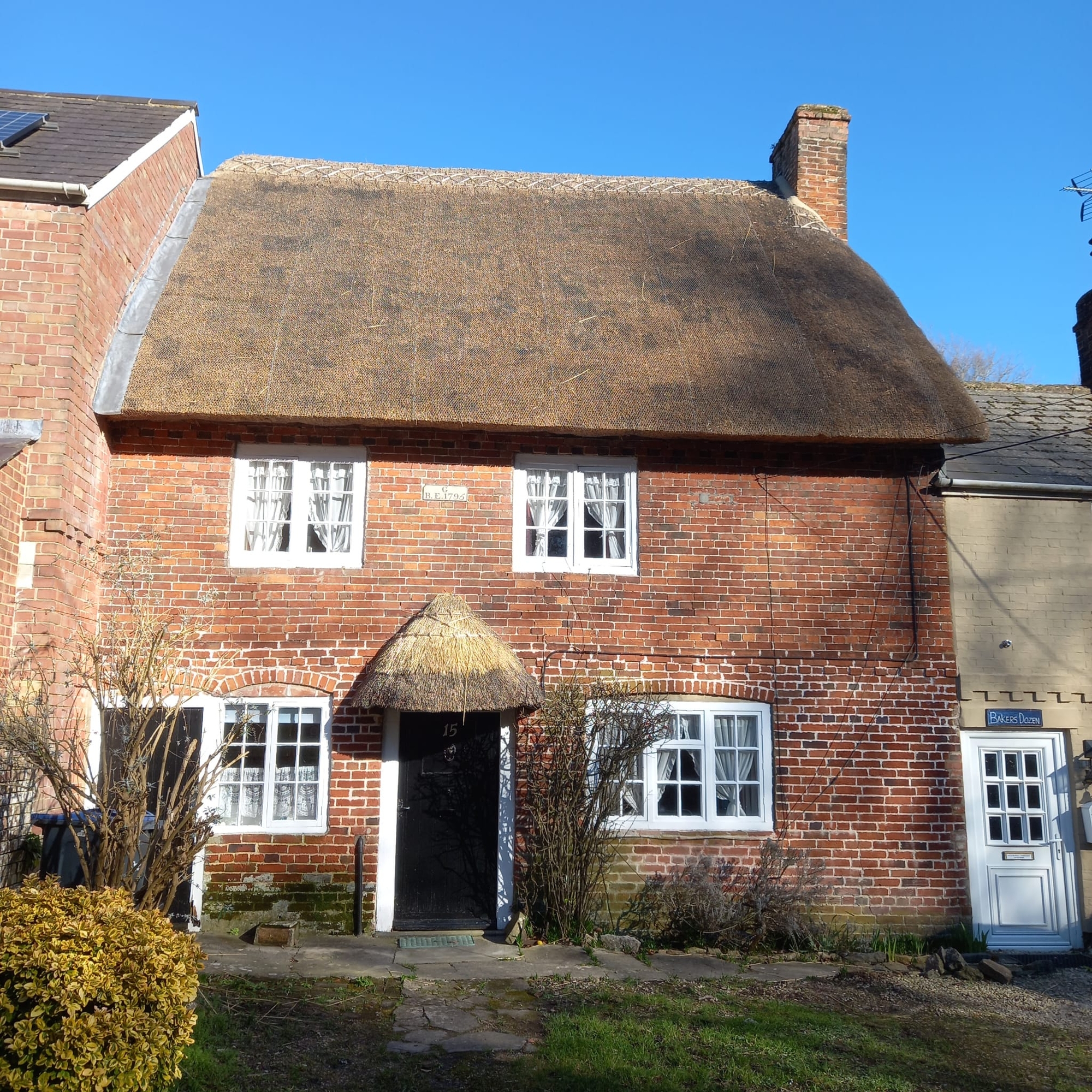
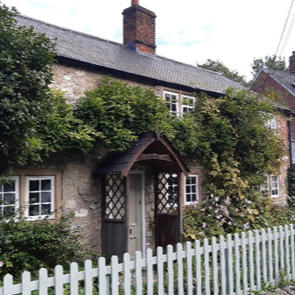
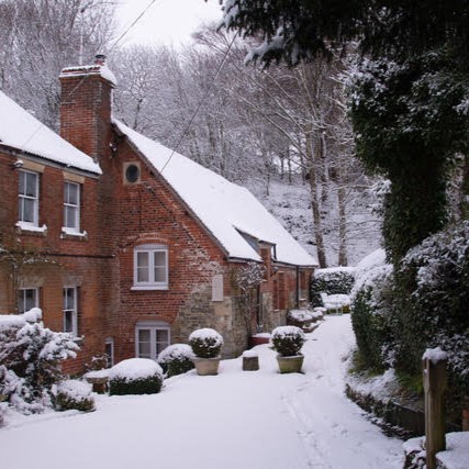
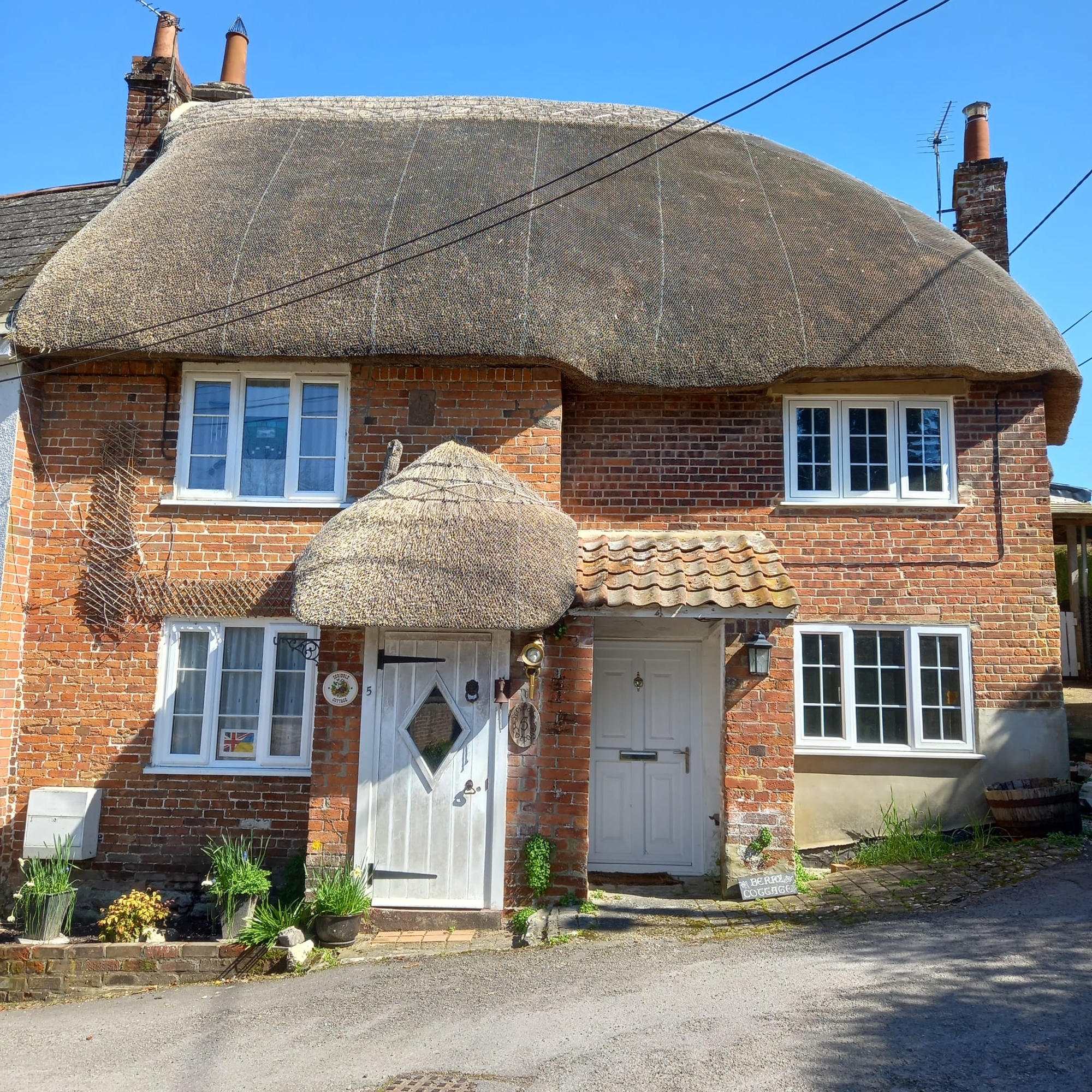
The stream known today as the Stradbrook rises in Luccombe Spring. This reliable source of fast-flowing water led to the development of water mills along its length. Initially grist mills were built to grind corn into grain. But a booming woollen cloth trade led to their conversion into fulling mills, and the building of other mills along the stream. The hamlet’s original name – Milbourne (a stream with a mill) – speaks of a milling heritage that can still be seen today – not just in the former mill buildings themselves, but also in the workers’ cottages that remain along Stradbrook and at the southern end of Lower Road.

Braectun
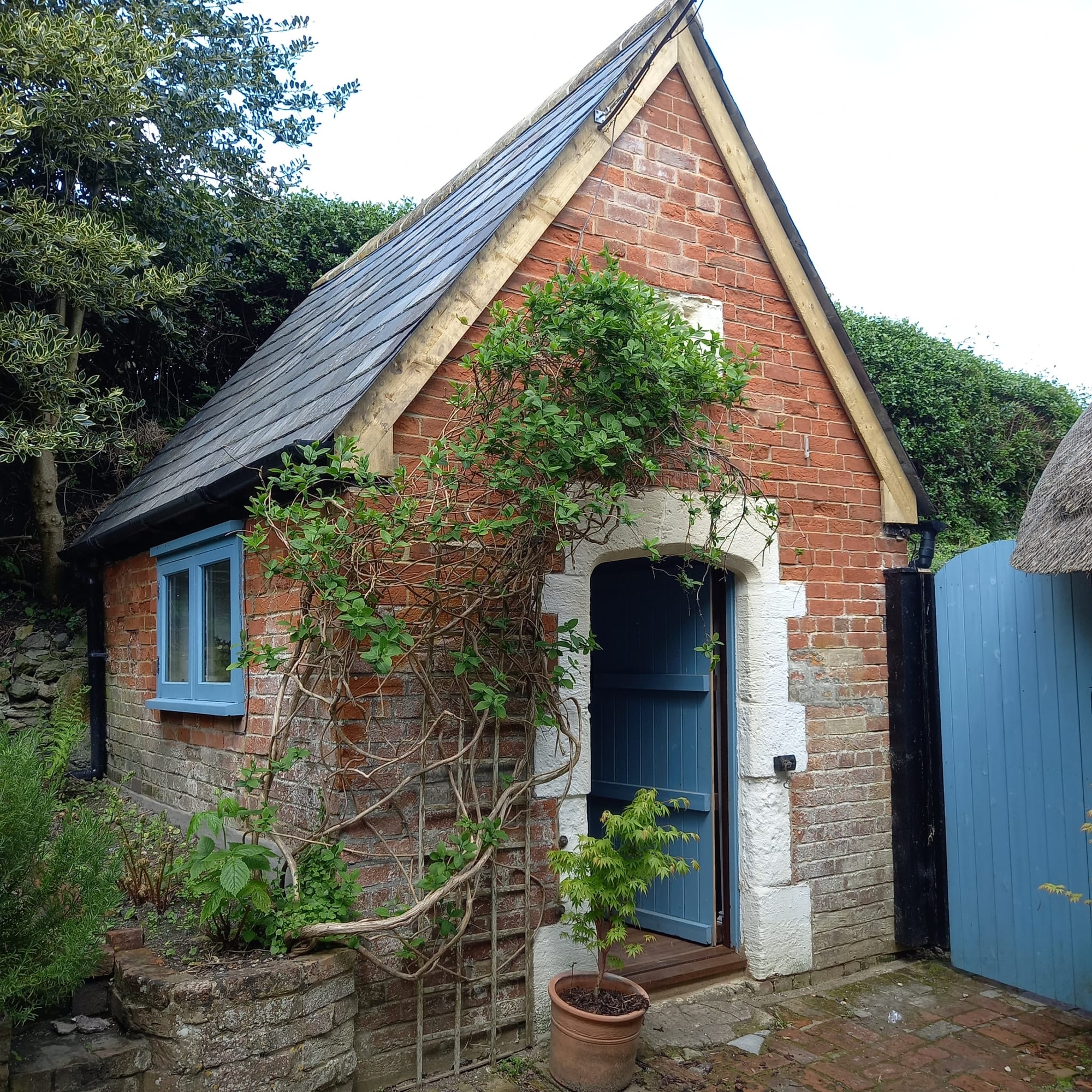
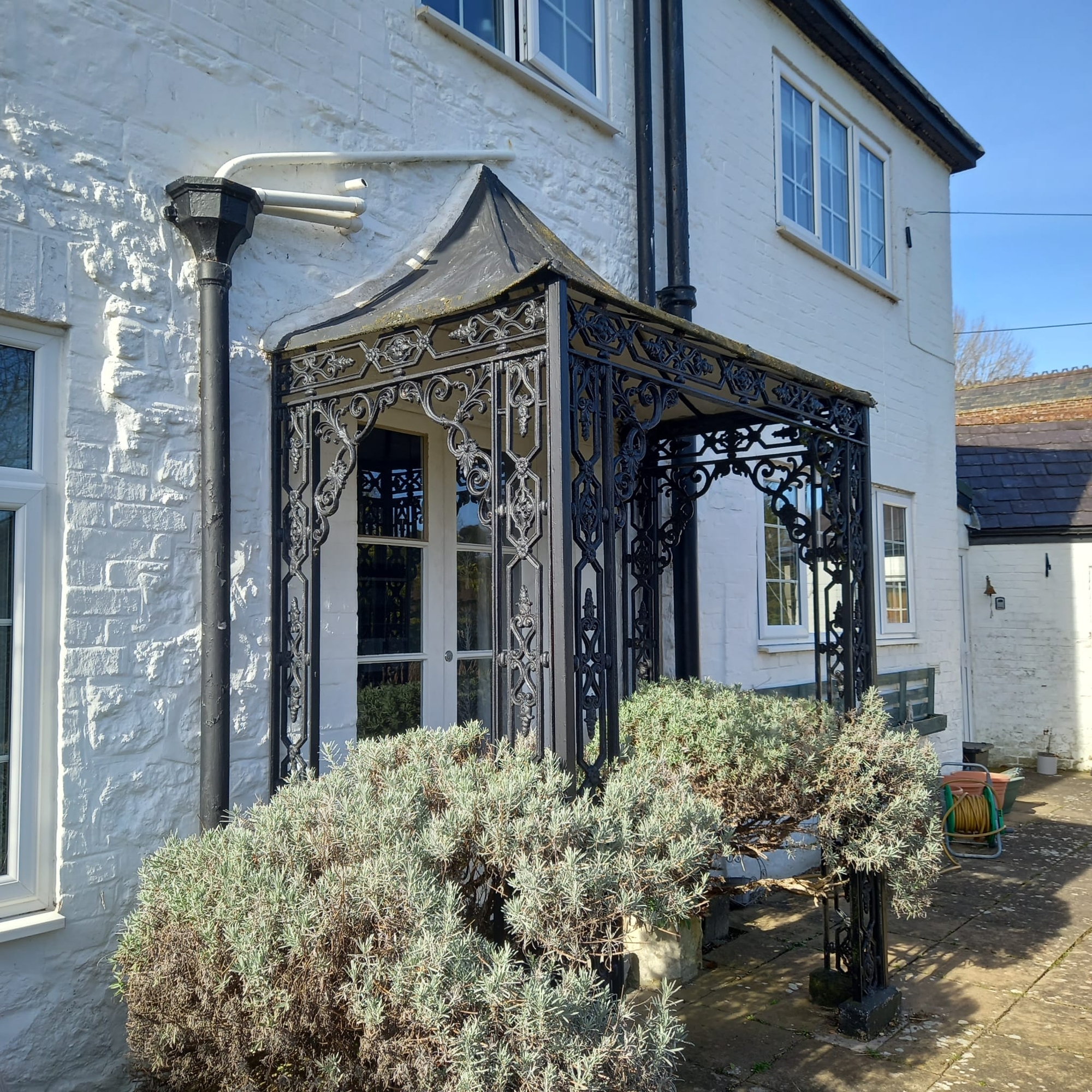
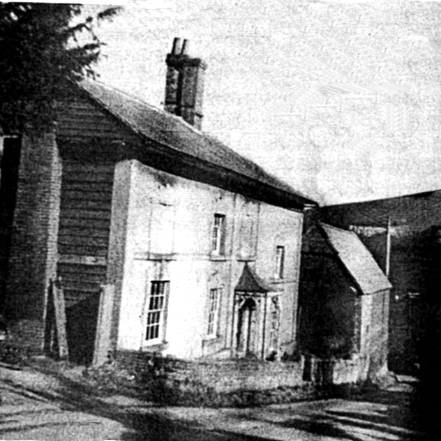
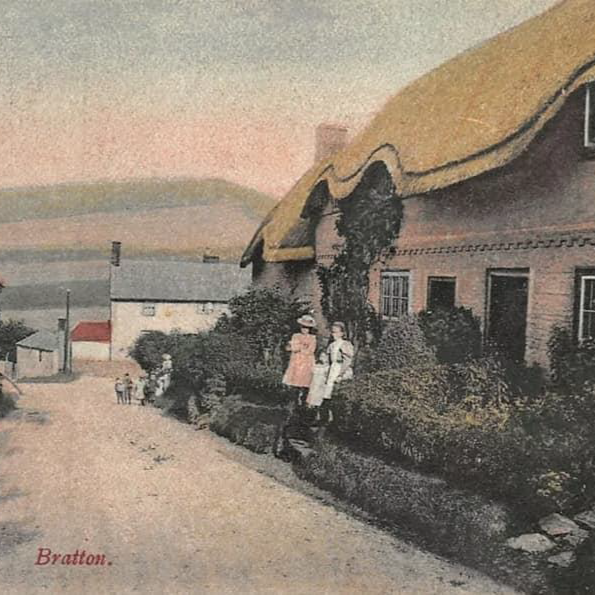
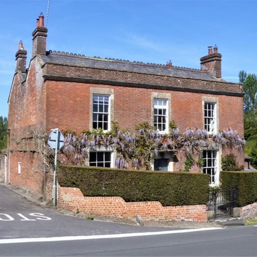
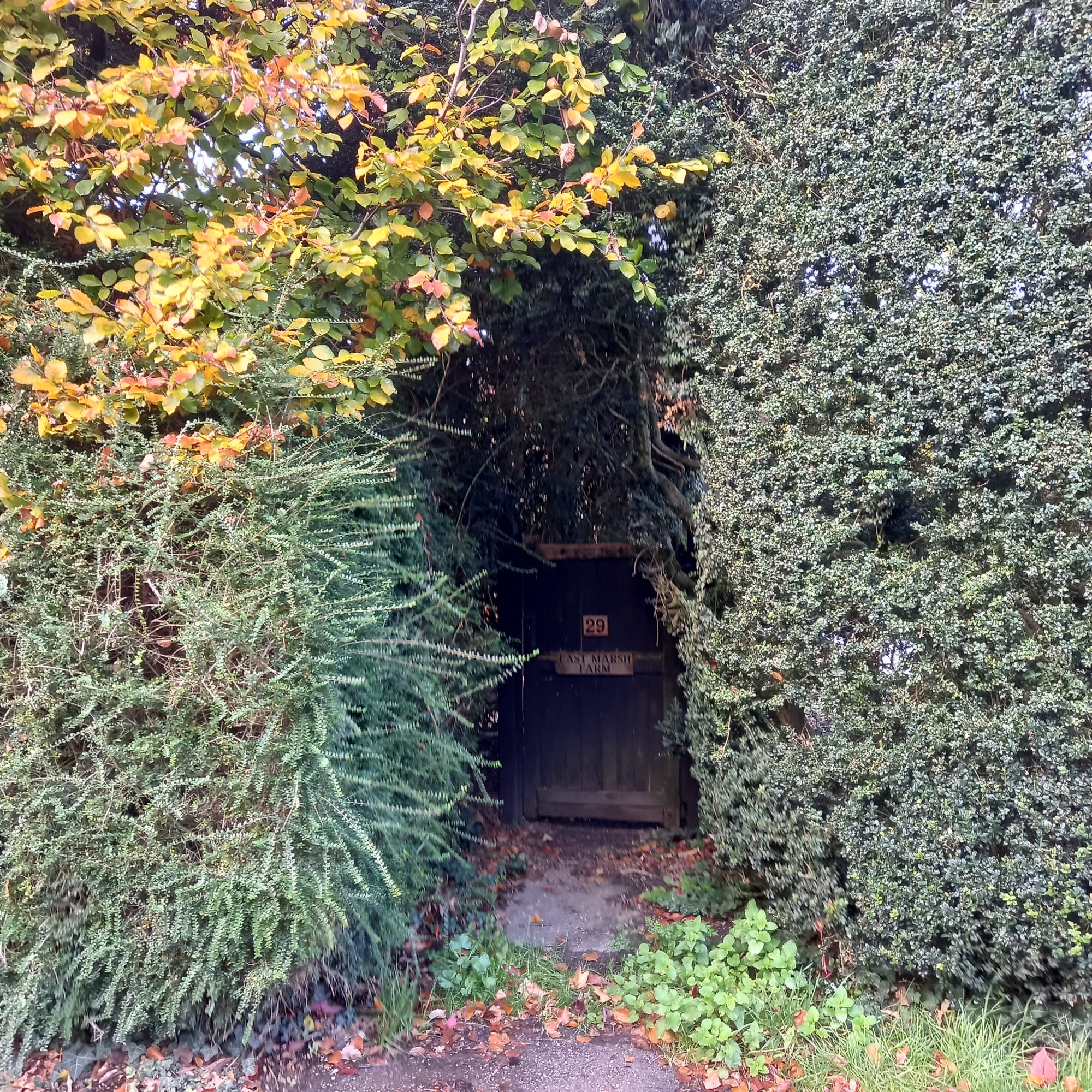
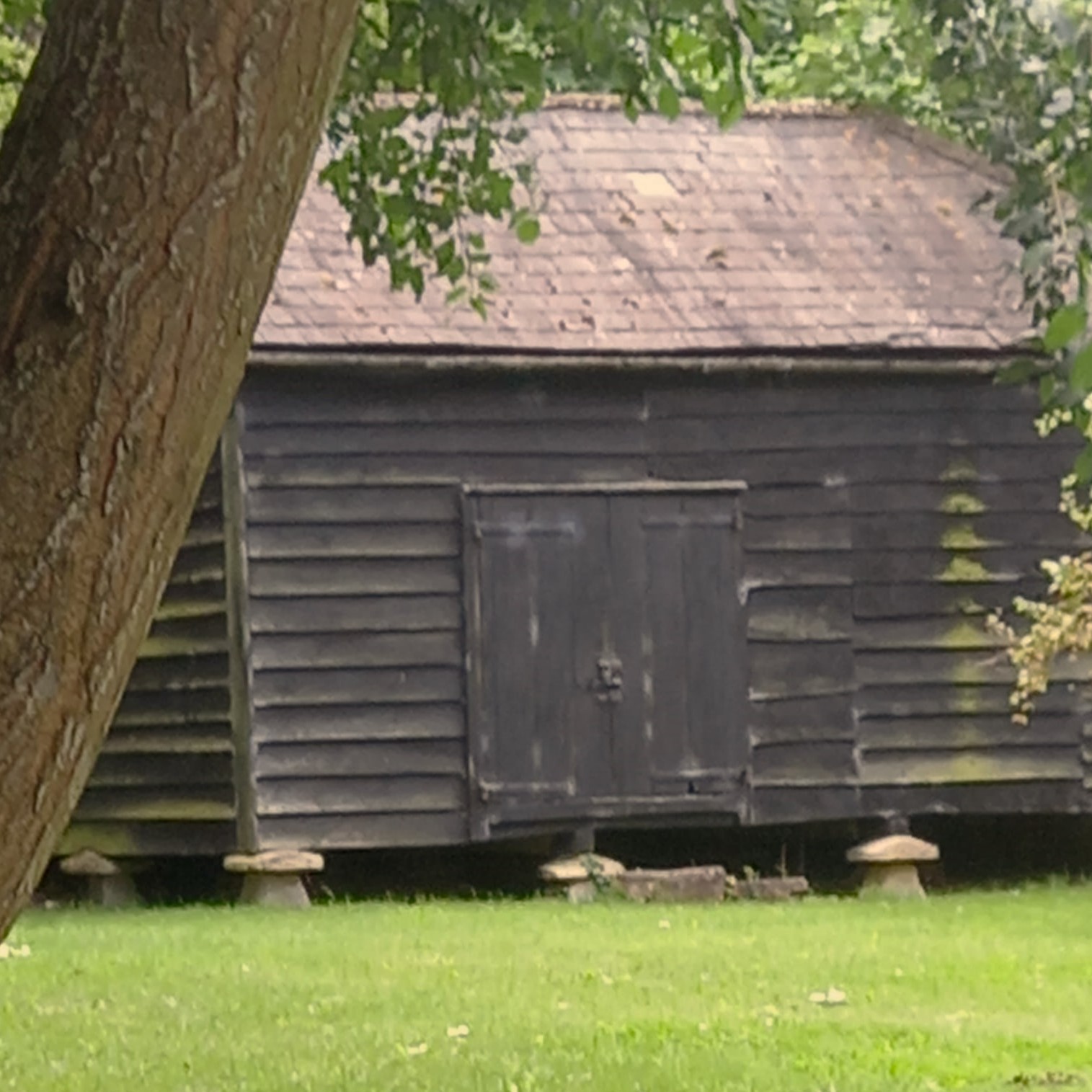
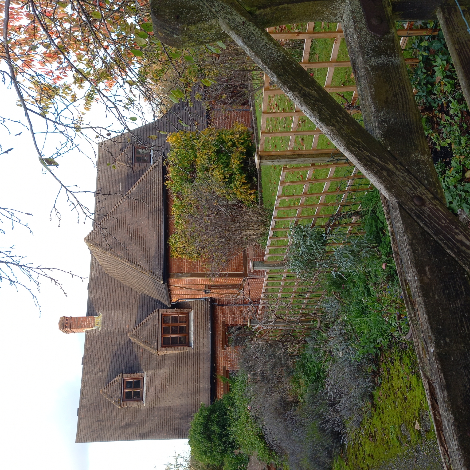
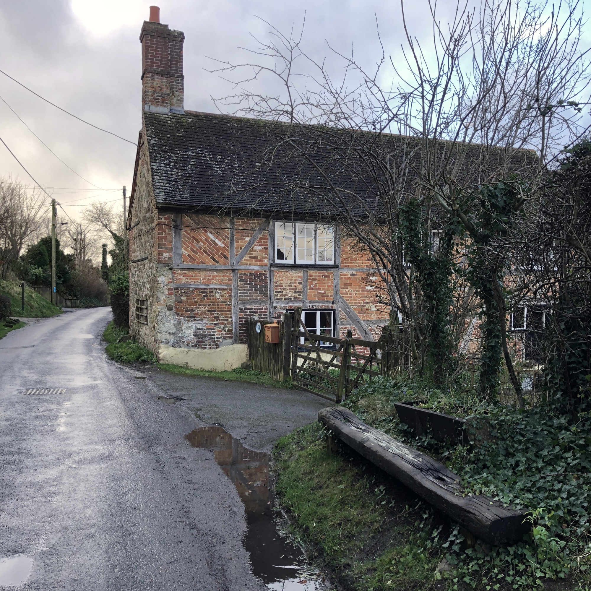
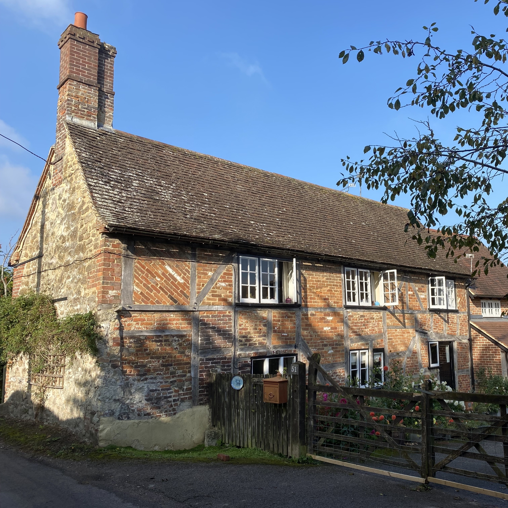
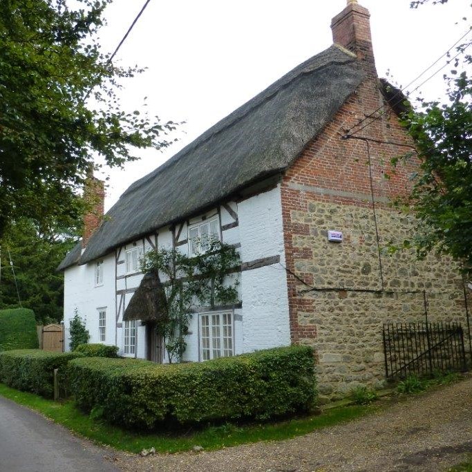
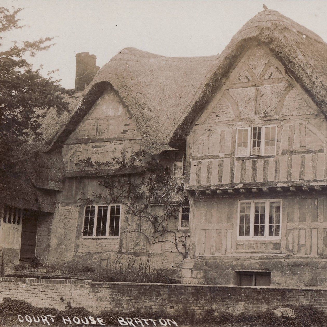
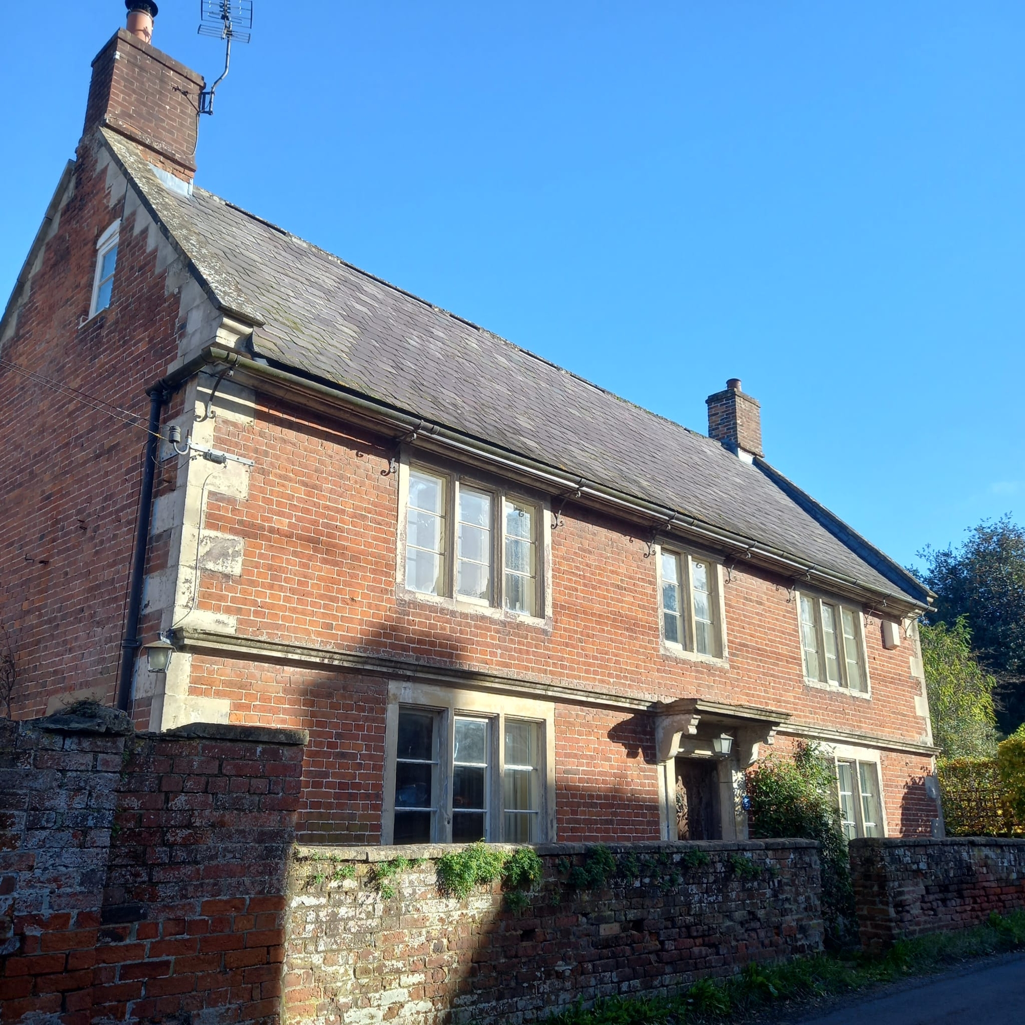
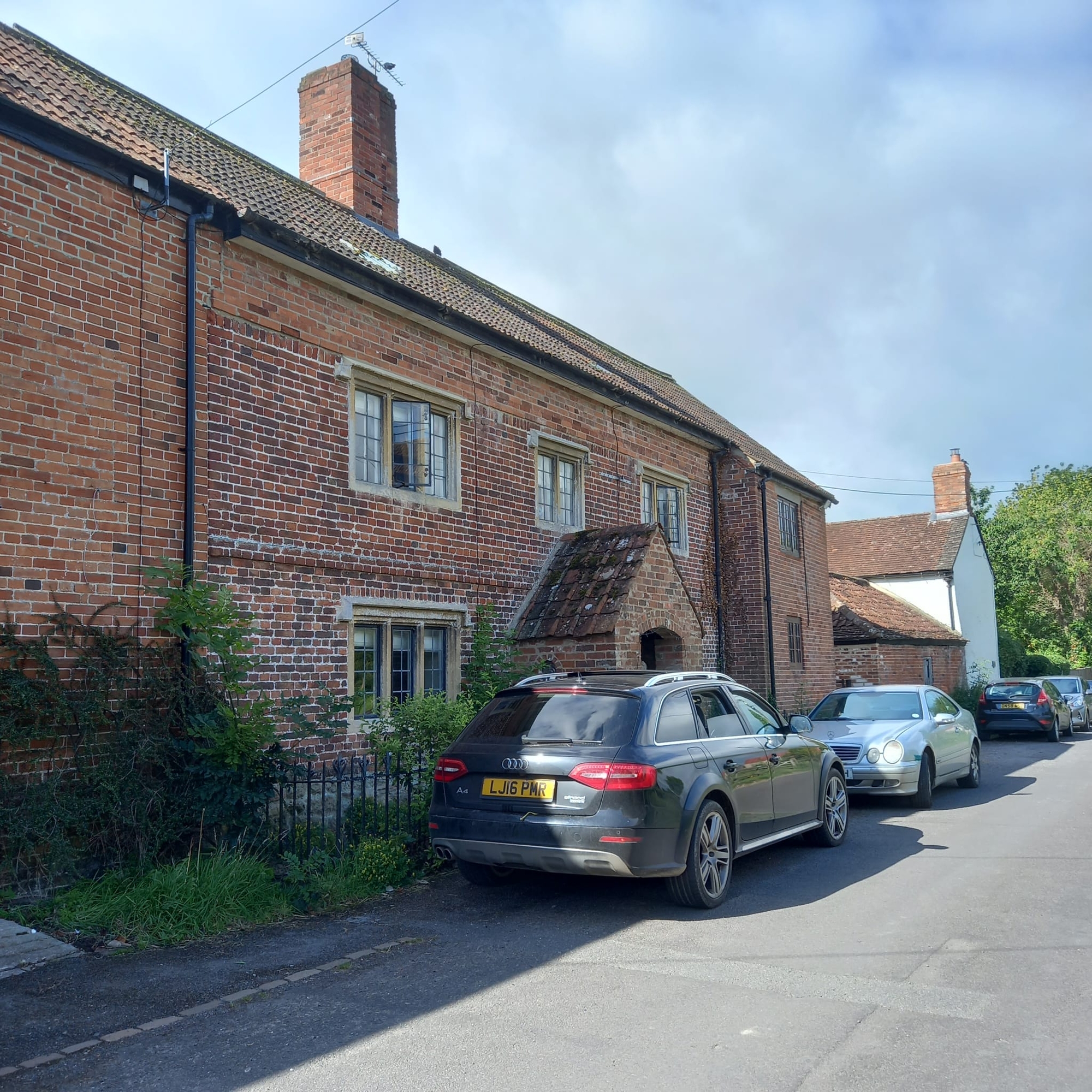
At the northern edge of Bratton the geology changes from greensand to fertile clay, which would have made the land perfect for the Saxon farmers who cleared it. The hamlet of Braectun (a settlement with newly cultivated land) grew up around St Anne’s Spring which flows near to the junction of Court Lane and Lower Road. It is here that the village’s oldest domestic building is sited. The Court House – which for part of its life was a medieval manorial court – is one of a number of historic farmhouses in this area.
Bratton History Association.
The Bratton History Association aims to provide all those curious about local history with an opportunity to meet, exchange ideas,
and discover more about the history of Bratton and Wiltshire. Activities include monthly meetings, talks by professional historians,
visits to places of interest to historians, and our own local history project.
Copyright Bratton History Association 2015-2026
Bratton History Association Privacy Statement
Copyright Bratton History Association 2015-2026
Bratton History Association Privacy Statement
Web Design by Blue Engine Web Development © 2008-2026